Guide · Live tracking
How to let family track you live on an adventure
By AdventureLive · Updated
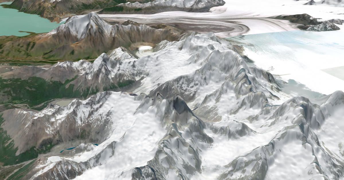
How do I let family track me live on an adventure?
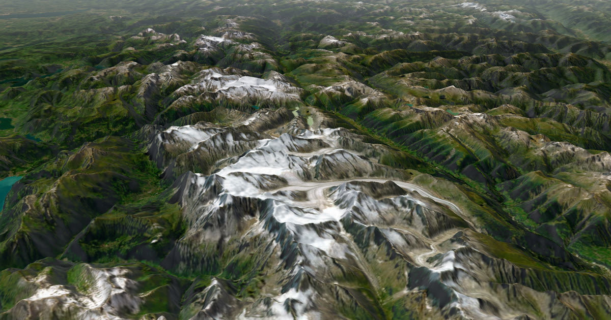
Carry a satellite tracker and share one link. A Garmin inReach or a SPOT sends your position over satellites, so it works where a phone has no signal. AdventureLive turns that position into a trip page: a 3D satellite map, the line you have travelled, when you were last seen, and the weather where you are. Your family open the link in any browser. No app, no account.
This guide explains why a satellite tracker beats a phone off-grid, what a good follow page needs, how AdventureLive does it in three steps, and which guide to read for your kind of trip.
Why does a satellite tracker beat a phone off-grid?
A phone needs a cell tower. A satellite tracker needs a view of the sky. That one difference decides most trips.
On a mountain, a desert track, a polar crossing or the open ocean, phone signal is patchy at best and often absent. Even on a popular trek like Kilimanjaro, one commercial guide describes signal as strongest on the lower slopes and unreliable on summit day (see the Kilimanjaro guide). On the Everest Base Camp trail, a tour operator says mobile signal usually disappears above Dingboche (see the Everest Base Camp guide).
A tracker also has practical advantages:
- Battery. Trackers are made to run for days on a charge; Garmin quotes up to 14 days for the inReach Mini 2 in 10-minute tracking, in good conditions. A phone in the cold or in use as a camera does not last that long.
- SOS. An inReach or SPOT has an SOS button that goes to a staffed rescue centre. That is Garmin Response for inReach and SPOT's GEOS centre for SPOT. A phone app does not offer that.
A phone is still useful. Garmin LiveTrack can share your position from a compatible Garmin watch or device paired to your phone, but it needs the phone to have signal. It suits runs, rides and hikes where there is coverage. It does not replace a satellite tracker where there is none.
What does a good follow page need?
Four things: where you are, when you were last seen, the weather there, and a way to reach home if things go wrong.
1. Where you are. A clear map with your planned route, the line you have actually travelled and a dot. For an ocean row there may be no planned route at all. The page must still make sense with only the dot and the track.
2. When you were last seen. This matters more than the dot. A dot that looks live but is three hours old frightens people. A good page says "Seen 22 min ago, via inReach" in plain words. It should also admit gaps. A tracker sends at intervals, and in a canyon or under tree cover it may miss several.
3. The weather where you are. Family worry about what they cannot see. If they can see a gale, a thunderstorm or freezing cold at your position and on the route ahead, they understand why you have gone quiet. If they see a clear forecast, they sleep. AdventureLive shows the weather where you are, now and for the next 48 hours, with alerts for strong wind and gales, freezing or severe cold, heat, heavy rain and thunderstorms. The forecast is a guide, not a promise. Always check local forecasts and warnings.
4. A way to reach home if things go wrong. The follow page is for people who are curious. Your emergency contacts need something different: an email that tells them what happened, where, and which page to open. In AdventureLive you name up to five home contacts. If your inReach or SPOT sends a HELP message during a trip, each gets an email with the time, the place on a map and the trip page. A cancel email follows if it is cancelled. Followers never see it.
One caution. AdventureLive does not run rescues. Garmin Response and SPOT's GEOS centre do. The home-contact email is there so your people know quickly.
How does AdventureLive work in three steps?
1. Plan the trip
Open the web app, sign in with Google or an email link, and plan a trip with a name, a start and an optional end. Add legs. A leg can have a GPX file for the route, or no route at all, which is how you handle an ocean row, a sailing passage or a swim. A leg can last an afternoon or months; a six-week row is one leg.
You can fly the route, with the camera moving along a leg on the 3D map. You also get the weather for each leg: the forecast for roughly the next 10 days, and typical weather for your dates further out, based on ten years of records. See plan a trip and fly the route and the weather.
2. Link a tracker
In My trackers, add what you carry:
- Garmin inReach, through its MapShare page. Paste the address and the password if there is one, then use Link and test it.
- SPOT, through its shared page or XML feed.
- Garmin LiveTrack, through a personal address that starts with "a". Add it as a LiveTrack contact in Garmin Connect with Auto start. This needs the phone to have signal.
You can link several. The freshest position wins, so there is always one dot. AdventureLive reads a tracker only while a trip is live. See link a tracker and Garmin LiveTrack.
3. Share the link
Choose who can see the trip: Findable, Link only, or People I approve. Send the link. Followers can also arrive through your livedot.me link, since AdventureLive is part of the livedot family, beside Windline for cycling and RunFast for running. Turning off the trip link stops it for everyone. See who can see you and home contacts.
Going live needs nothing from you. From an hour before a leg starts, the tracker's first position puts the trip live. On a leg with a route, that position must be within 25 km of the line. You can also use Start now, Pause, Resume and End trip by hand from any phone's browser. After 12 quiet hours the line breaks, and the next position starts the next stretch. See going live.
Which guide is right for my kind of trip?
Each guide below covers the real conditions, the tracker that suits the trip and the weather to expect.
Mountains and treks
- Kilimanjaro. Routes of five to eight days to Uhuru Peak, usually given as 5,895 m. Signal is unreliable on summit day. A tracker matters most on summit night.
- Everest Base Camp and Aconcagua. A trek where mobile signal fades above Dingboche and wifi is paid, and a high Andean expedition on Aconcagua.
Water
- Ocean rowing. Weeks at sea on a leg with no route. Race fleets such as the World's Toughest Row carry YB trackers too.
- Sailing passages and rallies. An Atlantic crossing, a delivery or a rally such as the ARC, where every boat carries a YB tracker.
- Channel swims. The swimmer carries nothing. The pilot boat or a support kayak does, with the pilot's agreement.
Races and long events
- Marathon des Sables. A 250 km desert race with its own official tracking, and rules to read before you carry your own tracker.
- Ultra-trail races without signal. Mountain ultras such as the UTMB, where coverage comes and goes.
- Rally raid. Long, remote stages for cars, trucks and bikes.
Overland and cycling
- Overlanding. Namibia, the Outback and other long, empty roads.
- Motorbike tours. Multi-week rides across borders.
- Bikepacking. Self-supported races and routes such as the Tour Divide.
Polar
- Polar expeditions. Long legs, extreme cold and weeks between towns.
Which tracker should I carry?
Either an inReach or a SPOT works with AdventureLive. They differ in plans, messaging and price, so read the satellite trackers for expeditions hub before you buy. If you already own one, check its plan is active before your trip.
For a straight comparison of the options for following a trip, see best live tracking for adventures. If you already use MapShare, AdventureLive vs Garmin MapShare explains what changes.
What should I do before I leave?
- Test the whole chain at home. Turn the tracker on, link it, and open the trip link on another phone.
- Tell your family what the page means. "Seen 3 hours ago" is not an emergency. Say how often the tracker sends.
- Name your home contacts. Give them the HELP email in advance so they know it will come. Set up emergency contacts with Garmin or SPOT too, for an SOS.
- Check the weather and local warnings from the official source for where you are going.
- Charge and carry spares. A flat tracker is a silent tracker.
Plan your trip and send your family the link before you go.
All guides in this topic
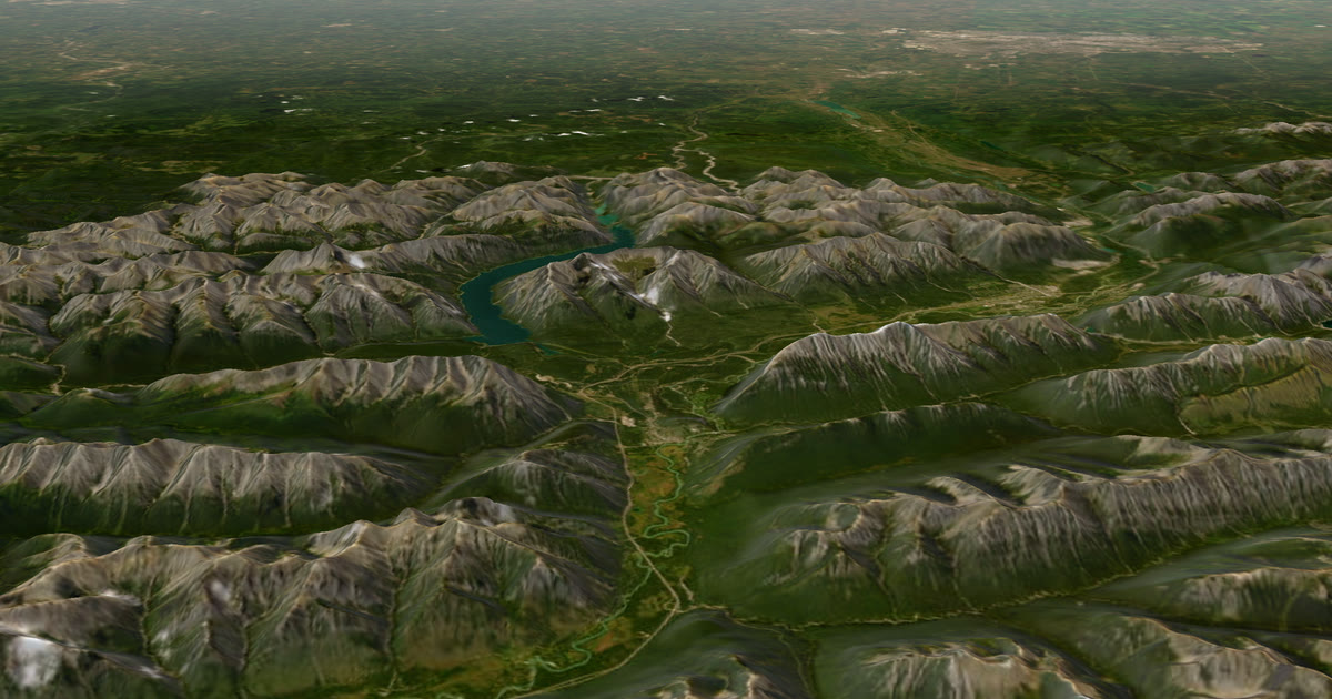 Guide · Live trackingBikepacking live tracking: Tour Divide and self-supported racesThe Tour Divide uses a race tracking page. Your family also wants the weather where you are and a HELP email. Here is how one tracker can feed both.
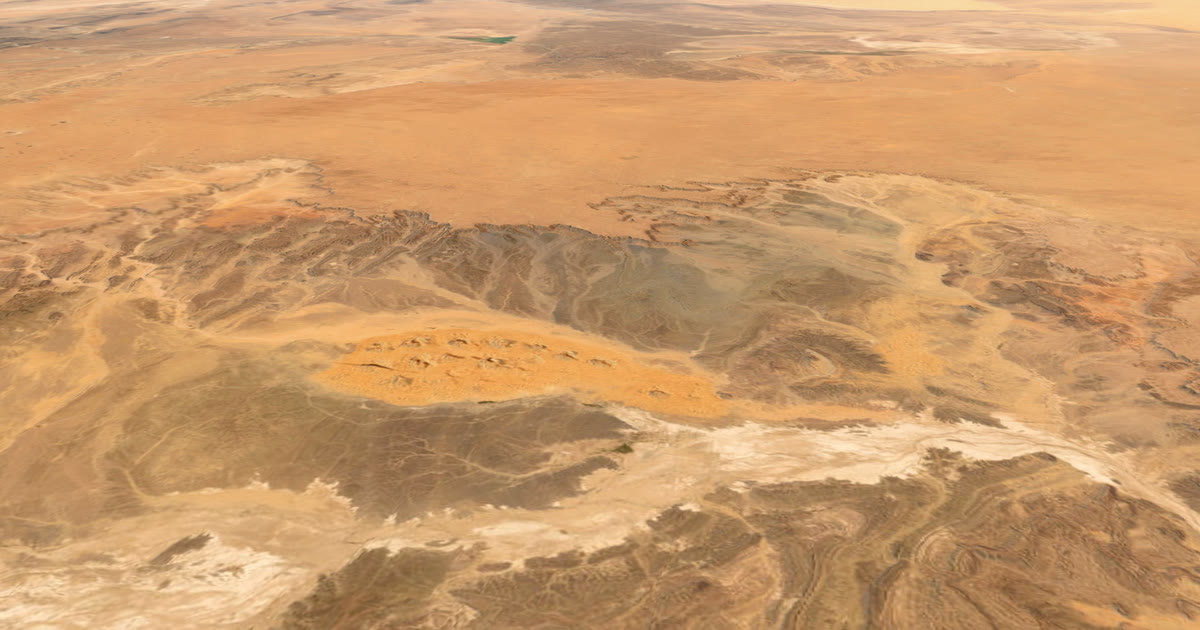 Guide · Live trackingHow to let family track you live at Marathon des SablesMarathon des Sables has its own official tracking. Here is what the rulebook says about phones and trackers, and what you can use AdventureLive for.
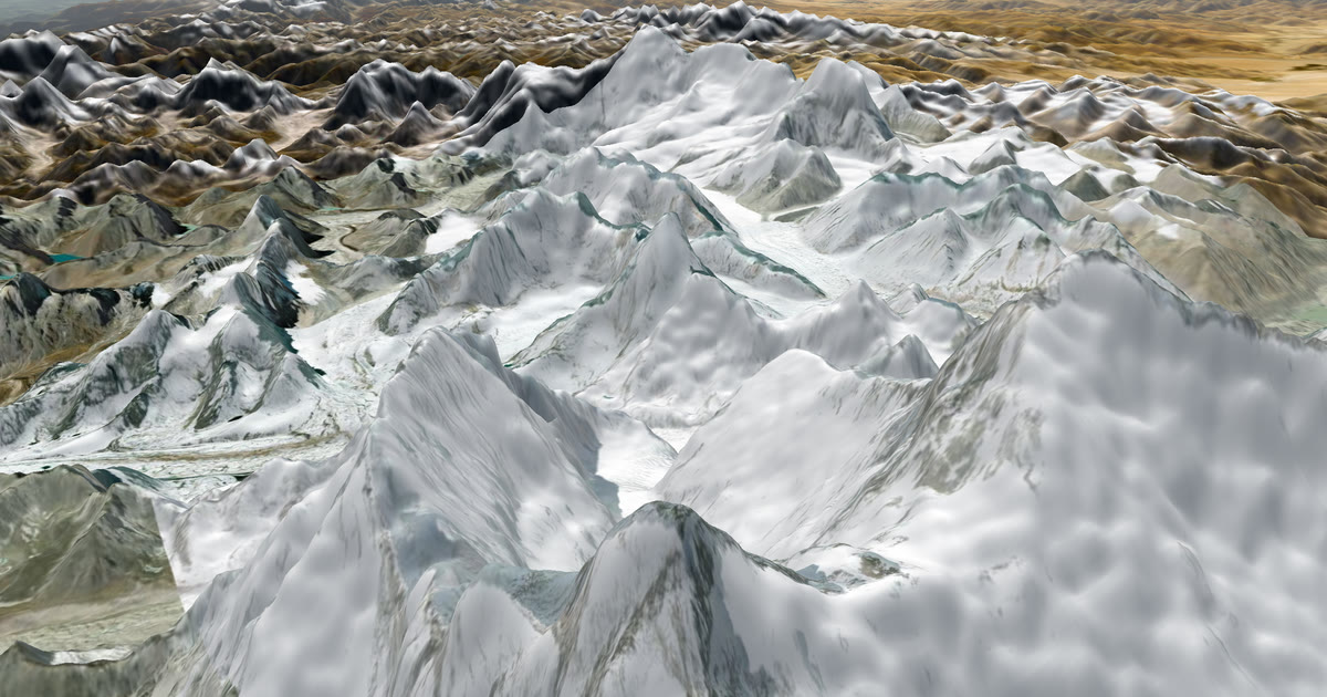 How-to · Live trackingHow to let family track you live on Everest Base CampMobile signal fades above Dingboche on the Everest Base Camp trek. Carry a tracker and share one AdventureLive link so family follow you. Aconcagua too.
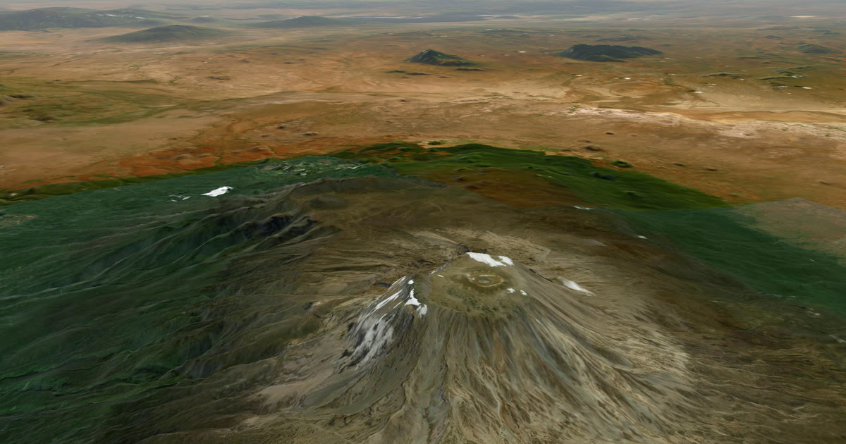 How-to · Live trackingHow to let family track you live on KilimanjaroPhone signal on Kilimanjaro is patchy. Carry an inReach or SPOT and share one AdventureLive link so family see you on the mountain, summit night included.
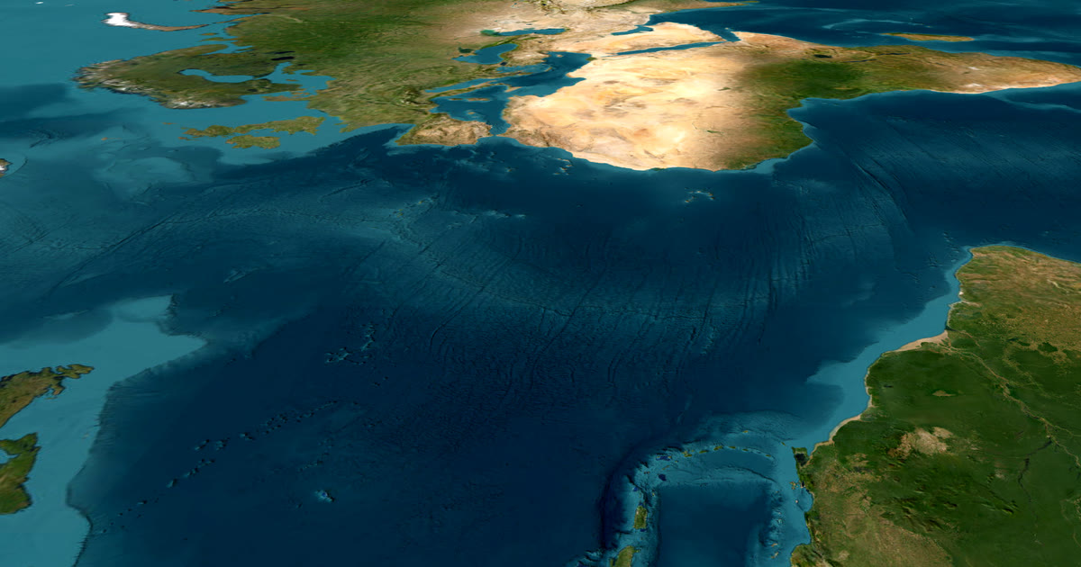 Guide · Live trackingHow to let family track you live while rowing an oceanRowing an ocean? Carry an inReach or SPOT and share one AdventureLive link so family see your dot and the weather where you are, even weeks from land.
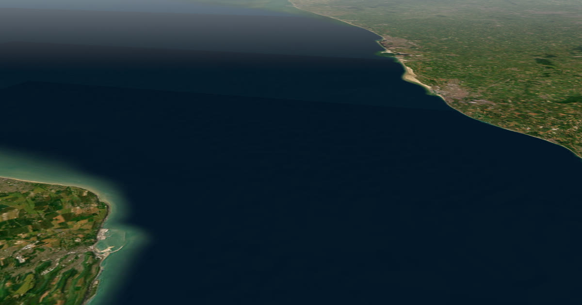 Guide · Live trackingHow to let family track your Channel swim liveSwimming the English Channel? The swimmer carries nothing, so the pilot boat or a support kayak carries the tracker. How to give family one live link.
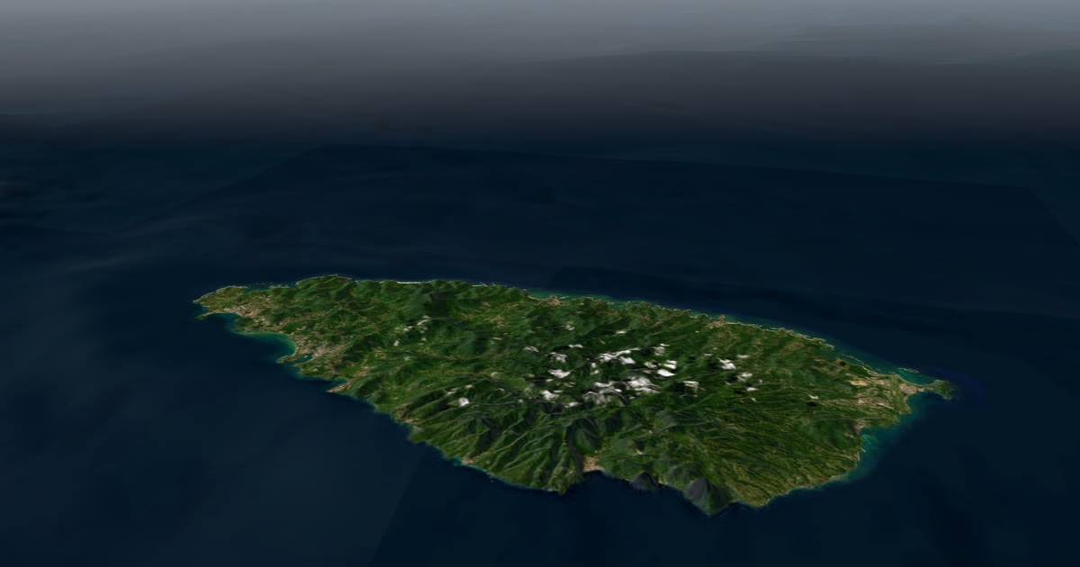 Guide · Live trackingHow to let family track your sailing passage liveSailing offshore or crossing with a rally like the ARC? Carry a satellite tracker and share one AdventureLive link with a map and your weather.
 Guide · Live trackingMotorbike tour live tracking: let family follow every dayA tracker on the bike or the jacket, one leg per riding day, and a link for the people at home: how to live-track an adventure motorbike tour.
 Guide · Live trackingOverlanding live tracking: let family follow every legLet family follow a Namibia or Outback overland trip live: a satellite tracker on the vehicle, one leg per stretch, and the weather where you are.
 Guide · Live trackingUltra-trail live tracking when there's no signal (UTMB and more)UTMB's own live tracking covers the race. Your family also wants to know where you are and what the weather is doing. Here is how to give them both.
Questions people ask
- Can my family follow me live if I have no phone signal?
- Yes, if you carry a satellite tracker such as a Garmin inReach or a SPOT. The tracker sends your position over satellites, and AdventureLive turns it into a trip page your family can open in a browser. A phone alone cannot do this without signal.
- How often does the dot move?
- As often as your tracker sends a position. AdventureLive reads an inReach no more often than every 4 minutes and a SPOT no more often than every 2.5 minutes, so the dot is only as fresh as the tracker's own interval. The page shows how long ago you were seen.
- Do my followers need an app or an account?
- No. They open the link in any browser. The only exception is a trip you set to People I approve, where followers sign in and ask, and you approve or decline.
- What happens if my tracker sends an SOS?
- Rescue is run by Garmin Response (inReach) or SPOT's GEOS centre, not by AdventureLive. An SOS goes to that centre, which contacts the emergency contacts you set with Garmin or SPOT, so set those up. AdventureLive emails the home contacts you named, up to five, with the time, the place on a map and the trip page, when you send a HELP message. Followers never see that email.
- Does it cost anything?
- AdventureLive is free, thanks to ProLend. Your tracker and its satellite plan are separate and are paid to Garmin or SPOT.
- Does it work for a trip with no set route, such as an ocean row?
- Yes. A leg can have no route. Followers then see the dot and the line you actually travelled. A leg can last an afternoon or months.
Sources
Related guides
How-to · Live trackingHow to let family track you live on KilimanjaroPhone signal on Kilimanjaro is patchy. Carry an inReach or SPOT and share one AdventureLive link so family see you on the mountain, summit night included.Guide · Live trackingHow to let family track you live while rowing an oceanRowing an ocean? Carry an inReach or SPOT and share one AdventureLive link so family see your dot and the weather where you are, even weeks from land. Guide · Satellite trackersinReach vs SPOT vs ZOLEO for expeditionsinReach, SPOT and ZOLEO compared for expeditions: networks, coverage, tracking intervals, SOS, plan prices and weights, and which work with AdventureLive.
 Comparison · ComparisonsAdventureLive vs Garmin MapShare: which should you use?Garmin MapShare and AdventureLive both show an inReach to family. Here is what each does, what it costs and when to use both, from their own pages.
 Guide · ComparisonsThe best live tracking for adventures (2026)Ten ways to let family follow an adventure live, compared fairly: MapShare, SPOT, SpotWalla, Polarsteps, YB, LiveTrack, Beacon, ZOLEO and AdventureLive.