How-to · Live tracking
How to let family track you live on Kilimanjaro
By AdventureLive · Updated
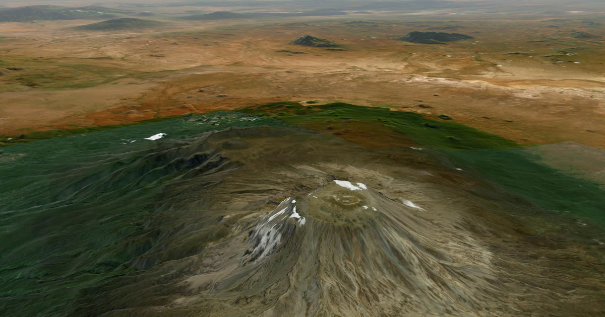
Plan the trip
In the AdventureLive web app, create a trip with your start date. Add one leg per route stage, or one leg for the whole climb. Upload a GPX if you have one, or leave the leg with no route.
Link your tracker
In My trackers, add your inReach MapShare address (and password if set) and use Link and test it, or add your SPOT shared page.
Choose who can see you
Pick Findable, Link only, or People I approve. For a private climb, Link only is usually enough.
Name your home contacts
Add up to five people who should get an email if your inReach or SPOT sends a HELP message.
Share the link and test it
Send the trip link to family. Switch the tracker on at home, check the dot appears, and tell them how often it updates.
How can my family track me live on Kilimanjaro?
Carry a satellite tracker, link it to AdventureLive and share one link. A Garmin inReach or SPOT sends your position over satellites, so it works where a phone does not. Your family see the dot on a 3D map, "Seen 22 min ago, via inReach", and the weather where you are. It is free, thanks to ProLend. This guide covers the routes, the signal you can expect, and how to set it up. For other trips, see the live tracking hub.
Which routes lead to the summit, and how long do they take?
Most climbs take five to eight days, depending on the route. Uhuru Peak, the summit, is usually given as 5,895 m, though later measurements differ by a few metres. Sources give different distances for the same route, so treat these as rough.
| Route | Typical days | Rough distance | Notes |
|---|---|---|---|
| Marangu | 5–6 | about 64–72 km | Huts, not tents |
| Machame | 6–7 | about 49–62 km | Described as the most popular |
| Lemosho | 7–8 | about 56–70 km | Camping; longer approach |
| Rongai, Umbwe, Shira | varies | varies | Less used |
Your operator will confirm the exact itinerary. The tracker does not depend on the route. What matters is how many days you spend above the point where phones stop working.
Is there phone signal on Kilimanjaro?
Yes in places, but not reliably. The commercial guide we read, which we could not check against an official source, describes this pattern:
- Signal is usually stronger near the trailheads and lower camps.
- Forest and moorland can weaken it or drop it.
- On Machame it is weak or absent above about 3,500 m. On Lemosho and Shira it is patchy above 3,000 m and mostly offline above Shira 2 camp.
- Marangu is better at the lower and mid huts, where solar-powered wifi is reported at some huts and may be switched off at night.
- Summit day connectivity is described as very unreliable. Plan to be offline.
The same commercial guide is not consistent: it also says early-morning arrivals at camps often get the best chance of a connection. Treat that as unproven; coverage changes. The safe plan is to assume you have no signal when it matters.
Why carry an inReach or SPOT for summit night?
Because summit night is when your family most want to know where you are, and it is when a phone is least likely to work. You start in the dark, in the cold, above the signal. A tracker sends your position every few minutes with nothing to switch on, hold or unlock.
It also gives you an SOS button that goes to a staffed rescue centre. For inReach that is Garmin Response; for SPOT it is the GEOS centre. AdventureLive does not run rescues. It emails the home contacts you name when you send a HELP message, so your people hear quickly. Set up emergency contacts with Garmin or SPOT too, because they are told on an SOS.
Two honest limits. First, the dot is only as fresh as the tracker's own interval. AdventureLive reads an inReach no more often than every 4 minutes and a SPOT no more often than every 2.5 minutes. Second, a tracker under a heavy jacket or in a buried pocket can miss a position. Clip it to the outside of your pack with a clear view of the sky. For more on choosing, read the satellite messenger for Kilimanjaro.
How do I set it up in AdventureLive?
- Plan the trip. In the web app, sign in with Google or an email link. Create a trip with a name, a start and an optional end. Add one leg per stage, or a single leg for the whole climb. A GPX is optional. See plan a trip.
- Link your tracker. In My trackers, paste your inReach MapShare address and its password if there is one, then press Link and test it. For SPOT, use its shared page. See link a tracker. If you use MapShare already, share inReach MapShare with family explains the difference.
- Choose who can see you. Findable, Link only, or People I approve. See who can see you.
- Name your home contacts. Up to five. If your tracker sends a HELP message during the trip, each gets an email with the time, the place and the trip page. See home contacts.
- Share the link and test it. Switch on the tracker at home and check the dot appears. Tell your family how often it updates.
Going live needs nothing. From an hour before a leg starts, the tracker's first position puts the trip live. If a leg has a route, that position must be within 25 km of the line. You can also use Start now, Pause, Resume and End trip by hand from any phone's browser. See going live.
What will my family see?
They open the link in any browser, with no app and no account unless you chose People I approve. They see:
- the 3D map, the planned route if you added one, the line travelled so far and the dot;
- when you were last seen and by which device;
- check-ins, meaning messages you sent from the tracker;
- the weather where you are, now and for the next 48 hours;
- safety alerts for strong wind and gales, freezing or severe cold, heat, heavy rain and thunderstorms, where you are and on the route ahead;
- the day and leg you are on.
The page refreshes by itself every minute. Followers can also arrive through your livedot.me link.
What is the weather like at the summit?
Cold, and it changes quickly. AdventureLive shows the forecast where you are for the next 10 days or so, and typical weather for your dates further out, from ten years of records. For which months tend to be driest and warmest at the top, read Kilimanjaro summit weather by month.
The forecast is a guide, not a promise. Your guides decide whether it is safe to go up. Check the local forecast and any park warnings with your operator.
What should I tell my family before I go?
- A quiet dot is not an emergency. Trackers miss positions, and there may be hours when you are in a tent with the tracker off.
- Tell them your planned days and your rough summit night.
- Tell them HELP emails come from the home contact list, and what they should do: call you, then your operator.
- Remind them AdventureLive is not a rescue service.
Next: Plan your trip, or go back to the live tracking hub.
Questions people ask
- Is there phone signal on Kilimanjaro?
- Some, but not reliably. One commercial guide describes signal as usually stronger near the trailheads and lower camps, weaker on the forest and moorland sections, and patchy or absent above roughly 3,000 to 3,500 m depending on the route. Do not plan around it.
- Can my family see me on summit night?
- Yes, if you carry a satellite tracker and it is switched on and has a view of the sky. The page shows your last position and how long ago it was. The dot is only as fresh as the tracker's sending interval.
- Do I need an inReach, or is a phone enough?
- A phone is enough on lower slopes where there is signal. For the upper mountain and summit night, a tracker is what keeps the dot moving. Garmin LiveTrack works from your phone and needs phone signal.
- What if my tracker sends SOS?
- Rescue is run by Garmin Response (inReach) or SPOT's GEOS centre, not by AdventureLive. An SOS goes to that centre, which contacts the emergency contacts you set with Garmin or SPOT, so set those up. AdventureLive emails the home contacts you named, with the time, the place on a map and the trip page, when you send a HELP message.
- Which Kilimanjaro route is best for tracking?
- The tracker does not care about the route. What changes is how long you are above signal. Longer routes such as Lemosho spend more days where phones fail, so a tracker matters more.
- Do my followers need an app?
- No. They open the link in any browser. They can also arrive through your livedot.me link.
Sources
Related guides
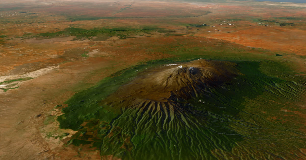 Guide · Satellite trackersDo you need a satellite messenger for Kilimanjaro?An honest answer: Kilimanjaro guides carry radios and phones, and signal is patchy. A satellite messenger is optional but useful on summit night.
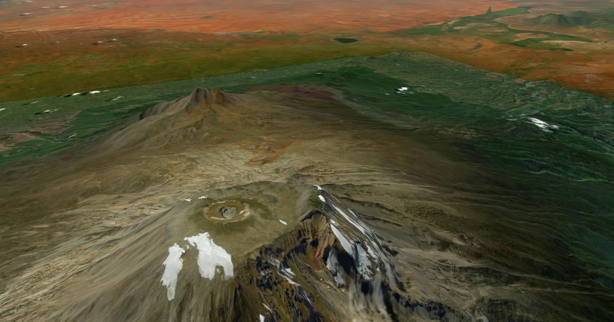 Weather data · Expedition weatherKilimanjaro summit weather by month: wind, cold and wind chillTen years of ERA5 records for Uhuru Peak: summit-night temperature, wind, wind chill and rain by month, and which months are driest and least windy.
 How-to · Satellite trackersShare your inReach MapShare with family (and make it better)Turn on MapShare in Garmin Explore, set a password, send the link, then add the weather, alerts and home contacts by linking it to AdventureLive.
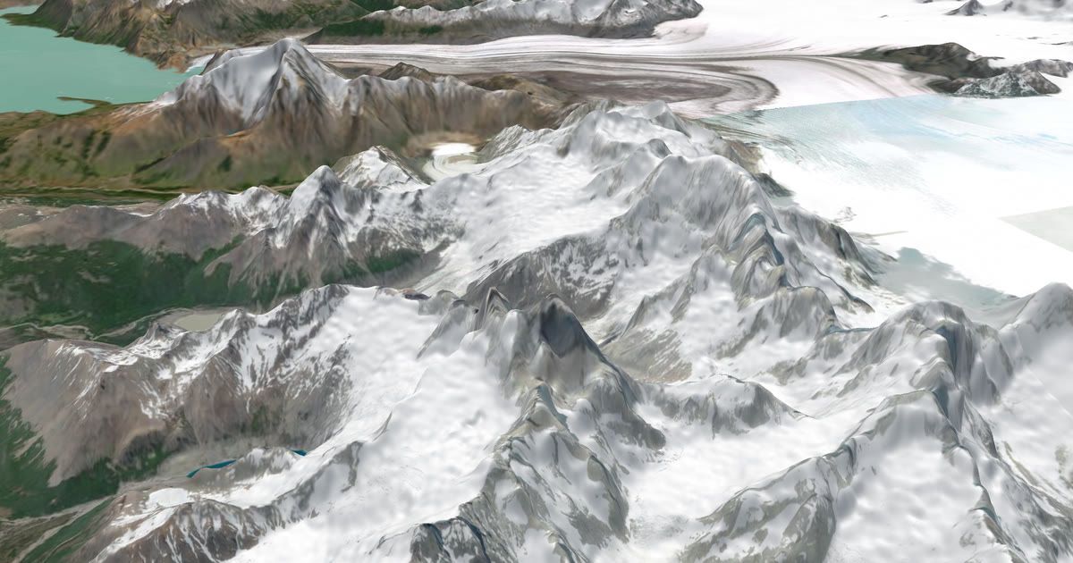 Guide · Live trackingHow to let family track you live on an adventureLet family follow you live when there is no phone signal: use a satellite tracker and one link with a map, the weather where you are, and home contacts.
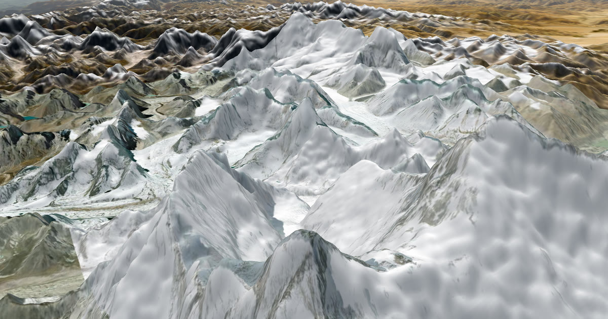 How-to · Live trackingHow to let family track you live on Everest Base CampMobile signal fades above Dingboche on the Everest Base Camp trek. Carry a tracker and share one AdventureLive link so family follow you. Aconcagua too.