How-to · Live tracking
How to let family track you live on Everest Base Camp
By AdventureLive · Updated
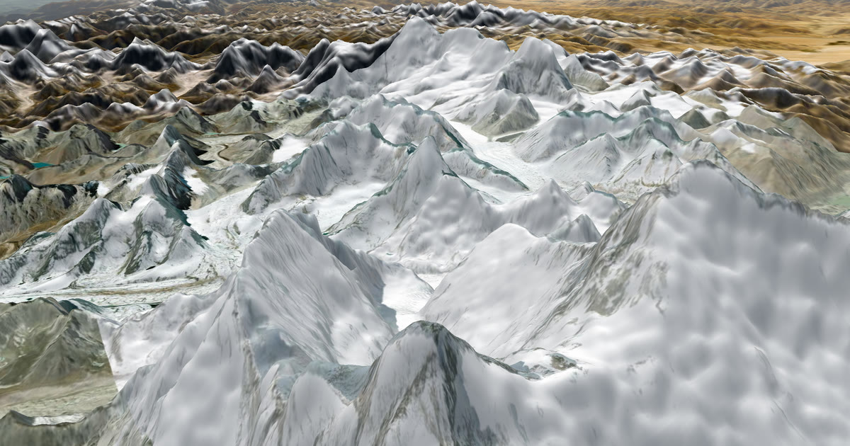
Plan the trek
In the AdventureLive web app, create a trip with your start date and a leg from Lukla to Base Camp and back. Add a GPX if you have one, or leave the leg with no route.
Link your tracker
In My trackers, add your inReach MapShare address (and password if set) and press Link and test it, or add your SPOT shared page.
Choose who can see you
Pick Findable, Link only, or People I approve.
Name your home contacts
Add up to five people who should be emailed if your tracker sends a HELP message.
Share the link and test it
Send the trip link. Switch the tracker on before you leave and check the dot appears.
How can my family track me live on the Everest Base Camp trek?
Carry a satellite tracker, link it to AdventureLive and share one link. A Garmin inReach or SPOT works where mobile signal fades. Your family see your dot on a 3D map, when you were last seen and the weather where you are. It is free, thanks to ProLend. The same set-up works for Aconcagua, covered below. For other trips, see the live tracking hub.
How high is Everest Base Camp, and how long does the trek take?
Base Camp on the Nepal side is at about 5,364 m, according to one tour operator. Trek packages vary in length; one operator sells a 16-day package. Most itineraries fly to Lukla, walk up the Khumbu through Namche Bazaar, Tengboche, Dingboche, Lobuche and Gorakshep, then return the same way. Your operator will give you the exact days.
Altitude is why you walk slowly and add rest days. It is also why the later stages are where signal is worst and where your family are most anxious. The days above Dingboche are the ones to plan the tracker around.
What phone signal is there on the trek?
It fades as you climb. One tour operator describes it this way, and we have not checked it against the networks themselves:
| Place | Mobile signal | Wifi |
|---|---|---|
| Lukla, Namche Bazaar | Mobile data works (Ncell and NTC); Ncell is described as stronger in the lower Khumbu | Lodges |
| Tengboche | Limited | Lodges |
| Dingboche | Limited; NTC is described as having wider coverage here | Lodges |
| Lobuche, Gorakshep | None | Airlink satellite wifi only |
| Base Camp | None | None |
Lodge wifi is usually paid. The same operator lists about NPR 500 to 800 per use, and Airlink packages at about NPR 1,200 to 1,500 for 24 to 48 hours. A March 2022 news report said Ncell expected to bring dedicated 4G to the Everest area by the end of 2022; the tour operator says Base Camp itself has no internet connection. We could not confirm the current position, so do not count on any signal at Base Camp. Prices and coverage change; check with your operator.
The point is the same either way. Wifi tells your family you are alive when you are standing at a lodge. It does not tell them where you are on the trail. A tracker does.
Why carry a tracker when there is wifi?
Because the places with no wifi are the places where you are walking. A tracker sends your position on the trail, between lodges, with nothing to open. It also gives you an SOS button to a staffed rescue centre: Garmin Response for inReach, GEOS for SPOT.
It also helps the people at home understand quiet days. "Seen 40 min ago, via inReach" on a day with a gale warning tells them you are sheltering, not missing.
How do I set it up?
- Plan the trip. In the web app, sign in with Google or an email link and create a trip with a name and a start date. Add a leg for the trek. A GPX is optional, so you can leave the route off. See plan a trip.
- Link your tracker. In My trackers, paste your inReach MapShare address and password if one is set, then press Link and test it. For SPOT, use its shared page. See link a tracker.
- Choose who can see you. Findable, Link only, or People I approve.
- Name your home contacts. Up to five. If your tracker sends a HELP message, each gets an email with the time, the place on a map and the trip page. See home contacts.
- Share the link and test it. Switch on the tracker at home, check the dot, and send the link to family. They can also use your livedot.me link.
AdventureLive reads an inReach no more than every 4 minutes and a SPOT no more than every 2.5 minutes. Going live needs nothing: from an hour before a leg starts, the tracker's first position puts the trip live. See going live.
What will my family see?
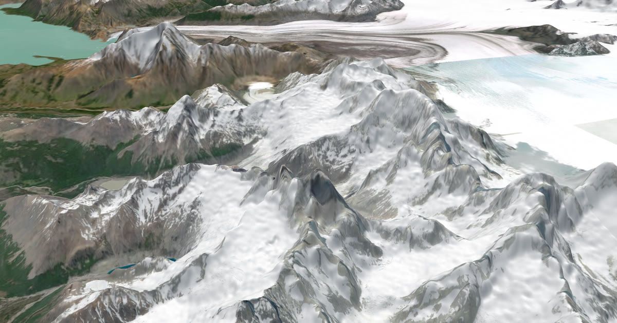
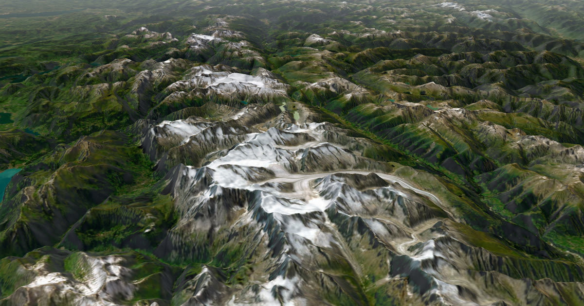
The 3D map, the line you have walked, the dot and "Seen 22 min ago, via inReach". They see check-ins you sent from the device, the weather where you are now and for 48 hours, and safety alerts for strong wind, severe cold, heavy rain and thunderstorms. The page refreshes by itself every minute. No app or account is needed unless you chose People I approve. Use fly the route to fly your own trek on the map before you go.
The weather is a guide. Check local forecasts and warnings with your operator.
What about Aconcagua?
Aconcagua stands at 6,961 m. One operator runs the normal route as a 14-day itinerary starting at Penitentes, near Mendoza, via Plaza de Mulas base camp at about 4,370 m, then higher camps. Longer itineraries add acclimatisation days. A climbing permit is required and is issued in Mendoza or Penitentes. The park's 2024-25 season opened on 1 November and ran to 30 April; check the current dates and permit fees with the Mendoza park authority.
The case for a tracker is stronger here. The higher camps are far from towns, and you spend days to weeks in the mountains. Add one leg for the approach and one for the summit push if you want the page to show progress by stage, or use one leg for the whole expedition. Check the park and operator rules on carrying satellite devices before you go.
What should I tell my family?
- A gap in the dot is common. Trackers miss positions in valleys and under cover.
- Share your planned days and acclimatisation days.
- AdventureLive does not run rescues. Garmin Response or GEOS does. The home-contact email is a fast heads-up.
For a similar climb with the same set-up, read the Kilimanjaro guide. Ready? Plan your trip.
Questions people ask
- Is there phone signal on the Everest Base Camp trek?
- Yes in the lower Khumbu, but it fades with height. One tour operator says Ncell and NTC work at Lukla and Namche, signal is limited at Tengboche and Dingboche, and mobile signal is usually gone above Dingboche (Lobuche, Gorakshep, Base Camp).
- Can I use lodge wifi to update my family?
- Often, for a fee. One tour operator puts lodge wifi at about NPR 500 to 800 per use and lists a paid satellite-based wifi service, Airlink, at Lobuche and Gorakshep. Prices and coverage change, so ask at each lodge. Wifi does not show your position; a tracker does.
- Can my family follow me on Aconcagua?
- Yes, with a satellite tracker. Aconcagua is a multi-day expedition away from towns, and a tracker keeps the dot moving between camps. Check your operator's rules and your permit conditions.
- How often does the dot update?
- As often as your tracker sends. AdventureLive reads an inReach no more than every 4 minutes and a SPOT no more than every 2.5 minutes.
- What if my tracker sends SOS?
- Rescue is Garmin Response's (inReach) or SPOT's GEOS centre's job, not AdventureLive's. An SOS goes to that centre, which contacts the emergency contacts you set with Garmin or SPOT, so set those up. AdventureLive emails the home contacts you named, with the time, the place on a map and the trip page, when you send a HELP message.
Sources
Related guides
 How-to · Live trackingHow to let family track you live on KilimanjaroPhone signal on Kilimanjaro is patchy. Carry an inReach or SPOT and share one AdventureLive link so family see you on the mountain, summit night included.
 Guide · Satellite trackersDo you need a satellite messenger for Kilimanjaro?An honest answer: Kilimanjaro guides carry radios and phones, and signal is patchy. A satellite messenger is optional but useful on summit night.
 How-to · Satellite trackersShare your inReach MapShare with family (and make it better)Turn on MapShare in Garmin Explore, set a password, send the link, then add the weather, alerts and home contacts by linking it to AdventureLive.
 Guide · Live trackingHow to let family track you live on an adventureLet family follow you live when there is no phone signal: use a satellite tracker and one link with a map, the weather where you are, and home contacts.
 Comparison · ComparisonsAdventureLive vs Garmin MapShare: which should you use?Garmin MapShare and AdventureLive both show an inReach to family. Here is what each does, what it costs and when to use both, from their own pages.