Guide · Live tracking
How to let family track you live while rowing an ocean
By AdventureLive · Updated
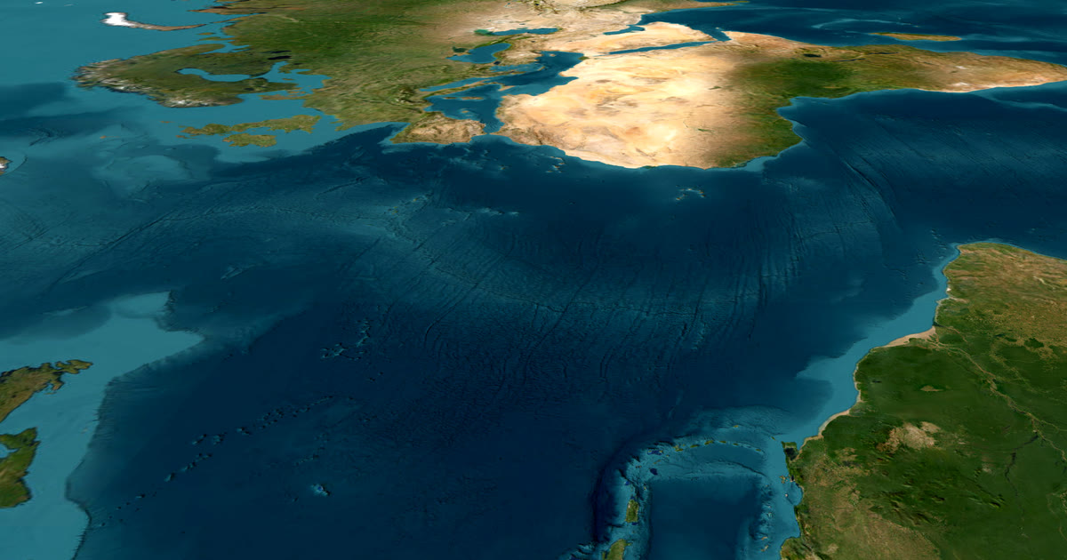
How do family follow an ocean row?
Through a tracker on the boat. Put an inReach or SPOT on board, link it to AdventureLive, and share one trip link. Family see your dot, the line you have rowed and the weather where you are. This guide covers the main routes, how to set up a leg with no route, how it sits beside a race's own tracking, and what the page does and does not show. For other trips, see the live tracking hub.
Which oceans do people row, and how long does it take?
The best-known ocean row, the World's Toughest Row (run as the Talisker Whisky Atlantic Challenge in the editions the sources below cover), runs from San Sebastian de La Gomera in the Canary Islands to Nelson's Dockyard in Antigua, commonly described as about 3,000 miles. Sources we read show it starting in December. Crossing times vary widely: in the edition Diageo reported on in 2022, the winners took just under 35 days and a female pairs crew took just over 45.
Rowers also attempt other oceans as non-race expeditions, where nobody sets the course for you.
The common point is time. Days turn to weeks, and for most of it you are alone with your crew and a very small boat. Your family cannot call. A page they can open at any hour matters more than for any other trip.
How do I set up an ocean row in AdventureLive?
Use one leg with no route. A leg with no route fits an ocean row, because nobody follows a line on the sea. Followers see the dot and the line you actually travelled. A leg can last an afternoon or months, so a six-week row is one leg.
- Plan the trip. In the web app, sign in with Google or an email link. Name the trip, set the start (for example La Gomera) and the end (Antigua). Add one leg and leave the route empty. See plan a trip.
- Link your tracker. In My trackers, paste your inReach MapShare address and password if there is one, then press Link and test it. For SPOT, use its shared page. See link a tracker. You can link both. The freshest position wins, so there is always one dot.
- Choose who can see you. Findable, Link only, or People I approve.
- Name your home contacts. Up to five. See home contacts.
- Send the link. Followers can also arrive through your livedot.me link.
Going live needs nothing. From an hour before a leg starts, the tracker's first position puts the trip live. On a leg with no route, nothing needs to match a line. You can use Start now, Pause, Resume and End trip by hand from any phone's browser. After 12 quiet hours the line breaks, and the next position starts the next stretch. See going live.
What about the race's own tracking?
The World's Toughest Row boats carry the organiser's tracker as well. YB Tracking says each team carries a YB3 that sends its position and lets teams exchange short messages with people on land, and its race page shows a leaderboard with rankings and estimated finish times. YB is the standard for ocean races. AdventureLive does not try to replace that.
The two do different jobs:
| Race tracker (YB) | AdventureLive | |
|---|---|---|
| Shows | The whole fleet, race standings | One trip: your boat |
| Best for | Following the race | Family and friends who want you, with the weather where you are |
| Your own tracker | Organiser's unit | Your inReach or SPOT |
| Home-contact HELP emails | Not part of the race page | Up to 5 contacts emailed on HELP |
Check your race's rules before adding a personal tracker. A fuller comparison is in AdventureLive vs YB Tracking.
What weather will family see?
The weather where you are, now and for the next 48 hours: wind, temperature, rain and storms. AdventureLive also raises safety alerts for strong wind and gales, freezing or severe cold, heat, heavy rain and thunderstorms, where you are and on the route ahead. For dates further out, the trip shows typical weather for the dates, from ten years of records. The forecast covers about the next 10 days.
It does not show swell, waves, sea temperature or currents. For sea state, use an offshore marine forecast from your weather router or the official provider. The forecast is a guide, not a promise.
For what months and parts of the Atlantic tend to be calmer or windier, read Atlantic rowing weather by month.
How often will the dot move?
As often as your tracker sends. AdventureLive reads an inReach no more than every 4 minutes and a SPOT no more than every 2.5 minutes. In practice an ocean row is slow, so a position every few minutes is plenty. Set your tracker's interval to save battery over weeks. The page says how long ago you were seen, so a longer interval will not look like an error.
What should I tell my family before I go?
- The dot may be an hour or more old, depending on your tracker's setting.
- A pause is normal during a storm, a battery swap or bad satellite view.
- SOS goes to Garmin Response, SPOT's GEOS centre or the race safety team, not to AdventureLive. AdventureLive emails your home contacts when you send HELP, so they hear fast. Set up emergency contacts with Garmin or SPOT for an SOS.
- They can open the link on any phone. No app.
What if you are racing as part of a fleet?
Keep the roles clear. The race tracker is the official record. Your AdventureLive page is the family view. If your race issues an organiser tracker, use that for the race. Ask the organiser whether a personal inReach may run alongside it.
Next: Plan your trip, or read how it compares for sailing passages.
Questions people ask
- How do family follow an ocean row?
- Through a tracker on the boat. In a race, the organiser's tracker (a YB3 in the World's Toughest Row) feeds the race page. For your own link, add an inReach or SPOT to AdventureLive and share the trip page, which shows the dot, the line rowed and the weather where you are.
- Do I need a planned route on AdventureLive?
- No. A leg can have no route. Followers see the dot and the line you actually travelled. A six-week row can be one leg.
- How far and how long is the Atlantic row?
- The La Gomera to Antigua route used by the World's Toughest Row is commonly described as about 3,000 miles. Crossing times vary by boat, crew and conditions; check the race's own results for the fleet.
- Can I use a SPOT or inReach if the race already uses YB trackers?
- That is a race-rules question, and we have not read any race's rule on it. Check your race's current rules. AdventureLive suits friends and family who want a separate link with the weather where you are.
- What happens if I send an SOS at sea?
- Rescue is run by Garmin Response (inReach) or SPOT's GEOS centre, or by the race's own safety team. AdventureLive does not run rescues. An SOS goes to them, and they contact the emergency contacts you set with Garmin or SPOT. AdventureLive emails the home contacts you named, up to five, when you send HELP.
- Does AdventureLive show waves or swell?
- No. It shows the weather where you are: wind, temperature, rain and storms, with alerts for gales and thunderstorms. Use an offshore marine forecast for sea state.
Sources
- Tracking the Talisker Whisky Atlantic Challenge 2019 (YB Tracking: YB3 trackers, leaderboard, route, about 3,000 miles)
- Talisker Whisky Atlantic Challenge 2022-23 (YB Tracking: YB3 sends position and short messages)
- World's Toughest Row: route, nearly 3,000 miles, December start (Southern Boating, 2017)
- Talisker Whisky Atlantic Challenge 2022-23 winners and crossing times (Diageo)
Related guides
 Weather data · Expedition weatherAtlantic rowing weather by month: the trade winds to AntiguaTen years of ERA5 records for the La Gomera to Antigua row: trade wind speed and direction, following-wind share, sea temperature and rain, month by month.
 Comparison · ComparisonsAdventureLive vs YB Tracking: race tracker or family page?YB Tracking is the standard for ocean races. AdventureLive is a free family page for your own inReach or SPOT. Use YB in the race, then both for home.
 Guide · Live trackingHow to let family track your sailing passage liveSailing offshore or crossing with a rally like the ARC? Carry a satellite tracker and share one AdventureLive link with a map and your weather.
 Guide · Live trackingHow to let family track you live on an adventureLet family follow you live when there is no phone signal: use a satellite tracker and one link with a map, the weather where you are, and home contacts.
 Guide · Satellite trackersinReach vs SPOT vs ZOLEO for expeditionsinReach, SPOT and ZOLEO compared for expeditions: networks, coverage, tracking intervals, SOS, plan prices and weights, and which work with AdventureLive.