Guide · Live tracking
Bikepacking live tracking: Tour Divide and self-supported races
By AdventureLive · Updated
A self-supported race like the Tour Divide runs for weeks, with riders spread over thousands of kilometres. The race has its own tracking map. Your family still has questions the map doesn't answer: is it going to storm where you are, and who finds out if you are hurt?
How does the Tour Divide track riders?
Through a race tracking page, run by Trackleaders. The Tour Divide's own rules call a SPOT tracker "strongly recommended but not required". The race has a partnership with SPOT to offer a loaner to riders who do not own one. Trackleaders' pages for the race say they are powered by SPOT satellite trackers, and Trackleaders says it also fully supports Garmin inReach trackers, though it has none in its rental fleet.
The rules are clear about what the page is. It is for information and for checking that riders followed the course. It is not a safety tool, and riders are responsible for their own safety. The rules also expect that if a bike breaks, the place of the incident is documented by SPOT tracking or another GPS logger.
So for the race, the tracker is also your evidence. Check the current rules before you start, since they change.
What does the race map give my family?
A map of the whole field with a dot per rider, positions on the route, and the standings that follow from them. That is a good page for following a race. It was built for the race, not for the person waiting at home.
Be fair to it: it is the standard way to follow this event, and many followers will use it. AdventureLive does not replace it. It adds what a family member wants.
What does AdventureLive add?
- The weather where you are, now and for the next 48 hours.
- Safety alerts for strong wind and gales, freezing or severe cold, heat, heavy rain and thunderstorms, on the spot and on the route ahead.
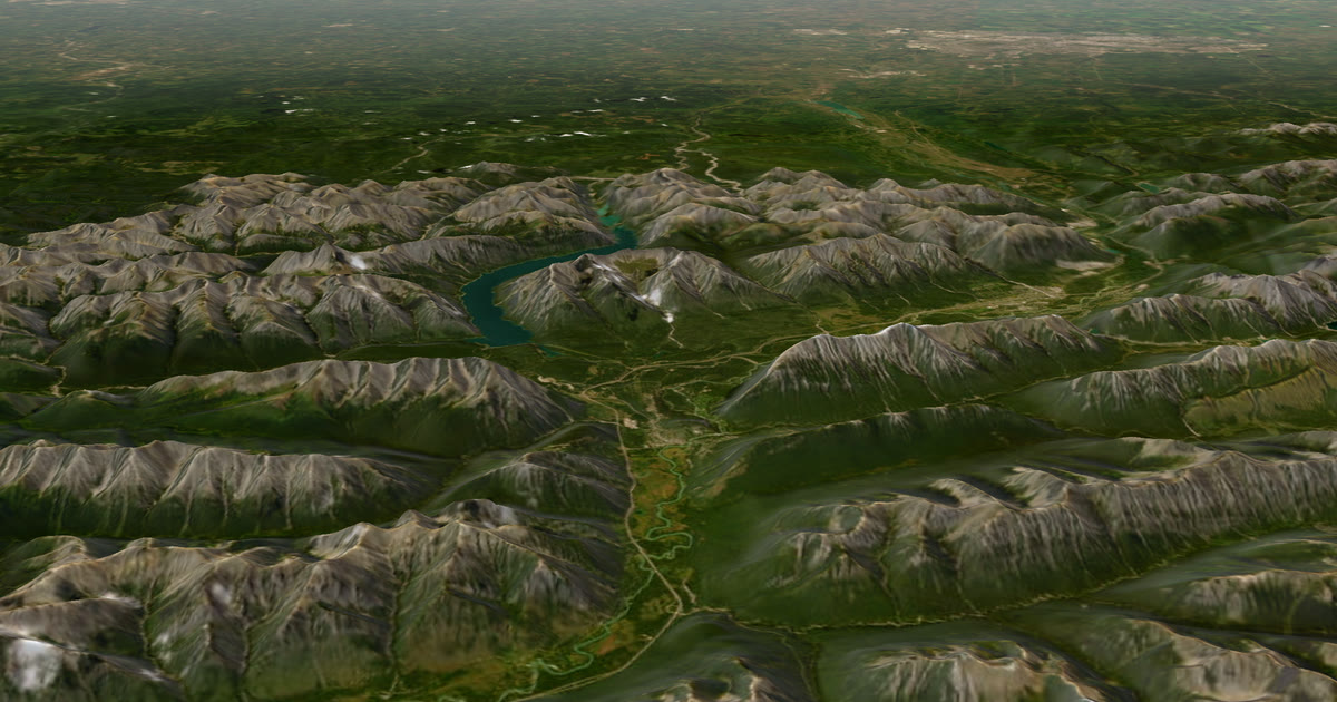
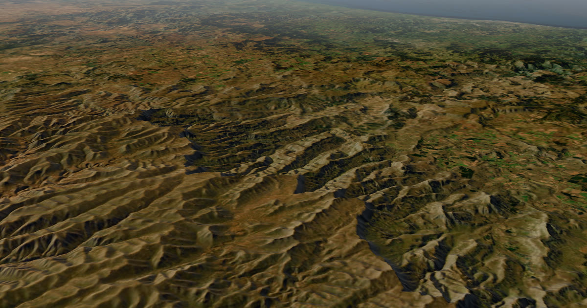
- A 3D satellite map with your planned route, the line you have ridden and the dot.
- A note such as "Seen 22 min ago, via inReach" so nobody misreads an old position.
- Home contacts: up to five people who get an email if you send a HELP message.
For a route like the Tour Divide, with high passes and big afternoon storms, the weather alerts are the useful part for family. They are a guide, not a promise of safety. Check local forecasts and warnings.
Can the same tracker feed both?
Yes, that is the usual set-up. Your SPOT or inReach sends positions to its own service. The race map reads your tracker through the race's registration. AdventureLive reads your own MapShare address or SPOT shared page. They are separate readers of one device, so you do not carry a second tracker.
Do this in order:
- Register your tracker with the race as its instructions say.
- Turn on your inReach MapShare (in Garmin Explore), or create a SPOT shared page in your SPOT account.
- Sign in on the web app with Google or an email link, and plan a trip with a name and a start.
- Add a leg. Add the route's GPX, or leave the leg with no route and followers see the line you actually rode.
- In My trackers, link the tracker: paste the MapShare address (and the password, if any) or the SPOT shared page link. Choose Link and test it.
- Send your family the trip link.
Help: Link a tracker. Ask the race first if you are not sure that a second reader of the tracker is allowed. We read nothing in the race rules we cited that forbids it, but each race writes its own.
AdventureLive reads your tracker only while a trip is live, no more often than every 4 minutes for an inReach or every 2.5 minutes for a SPOT. The dot is only as fresh as the tracker's own interval. SPOT's plans list tracking intervals from 5 minutes on Gen4 and 2.5 minutes with its Extreme option. Pick the interval to match the battery you have.
One leg or many for a 3,000 km race?
A leg can last an afternoon or months. Many riders make one leg for the whole route, because the race is one stretch with the GPX supplied. If you plan a looser ride, one leg per state or province gives family a clearer "Day 9, leg 2".
Going live needs nothing. From an hour before a leg starts, the tracker's first position puts the trip live. On a leg with a route, the position must be within 25 km of the line. After 12 quiet hours, the line breaks, and the next position starts the next stretch.
What about SOS?
The race's rules say the online tracker is not a safety tool. The safety tool is the SOS button on the device. For an inReach, an SOS goes to Garmin Response, which coordinates the rescue. For a SPOT, it goes to SPOT's GEOS centre. They work with local rescue services. AdventureLive does not run rescues.
What AdventureLive adds is an email for HELP. An SOS goes to the tracker's emergency centre, which tells the emergency contacts you set up with Garmin or SPOT, so set those up. AdventureLive shows followers nothing about it. If you send a HELP message during a trip, each home contact gets an email with the time, the place on a map and the trip page. If you cancel, a cancel email follows. Followers never see it. See Home contacts.
In a remote race, set your own rules with a home contact before you go. Agree what a silent day means and when to call the organiser.
inReach or SPOT for bikepacking?
Both work. inReach uses the Iridium network, and the Mini 2 weighs 3.5 oz. SPOT uses Globalstar, and its plans start at $11.95 a month on a 12-month contract at the time of writing (2026). Coverage differs by region, so check SPOT's coverage map for your route. Read the full comparison: inReach vs SPOT vs ZOLEO for expeditions.
If your tracker is a SPOT, read a SPOT shared page alternative your family will use.
A short pre-race checklist
- Tracker registered with the race.
- MapShare or shared page on, linked in AdventureLive, tested from home.
- Trip link sent to family.
- Home contacts named.
- Battery plan for the stretches between towns.
Part of How to let family track you live on an adventure. On a motorbike instead? See motorbike tour live tracking. Plan your trip.
Questions people ask
- Is a tracker required for the Tour Divide?
- The official rules say a SPOT is strongly recommended but not required. Check the current rules before you start. The rules also say the online tracker is for information and for checking course compliance, not a safety tool.
- Does the Tour Divide use SPOT or inReach?
- The Tour Divide's Trackleaders map says it is powered by SPOT trackers. Trackleaders also says it fully supports Garmin inReach trackers, though its rental fleet has none.
- Can one tracker feed both the race map and AdventureLive?
- Yes, in the usual set-up. The race map reads your tracker through the race's registration. AdventureLive reads your own MapShare or SPOT shared page. They are separate readers of the same device. Check the race's registration instructions, since each race sets its own.
- What does my family get that the race map does not?
- The weather where you are now and for the next 48 hours, safety alerts, a 3D map, and home contacts who get an email if you send a HELP message. The race map is built for following the field.
- Does the tracker help if I get hurt?
- Press SOS. Garmin Response (inReach) or SPOT's GEOS centre coordinates the rescue. The race's rules say the online tracker is not a safety tool, so the SOS button is what you rely on.
Sources
- Tour Divide: The rules (SPOT strongly recommended, tracker info-only)
- Tour Divide: Rule 7 FAQs (SPOT loaner partnership)
- Trackleaders: Tour Divide tracking page (powered by SPOT)
- Trackleaders: About (inReach support)
- SPOT service plans (tracking intervals)
- Garmin: Share your journey with inReach and MapShare
Related guides
 Guide · Satellite trackersinReach vs SPOT vs ZOLEO for expeditionsinReach, SPOT and ZOLEO compared for expeditions: networks, coverage, tracking intervals, SOS, plan prices and weights, and which work with AdventureLive.
 Guide · Satellite trackersA SPOT shared page alternative your family will actually useSPOT's shared page shows where you are. Here is what SpotWalla and AdventureLive add: a 3D map, the weather where you are, alerts and HELP emails to home.
 How-to · Satellite trackersShare your inReach MapShare with family (and make it better)Turn on MapShare in Garmin Explore, set a password, send the link, then add the weather, alerts and home contacts by linking it to AdventureLive.
 Guide · Live trackingMotorbike tour live tracking: let family follow every dayA tracker on the bike or the jacket, one leg per riding day, and a link for the people at home: how to live-track an adventure motorbike tour.
Polar expedition live tracking: Antarctica and Greenland