Guide · Live tracking
How to let family track you live at Marathon des Sables
By AdventureLive · Updated
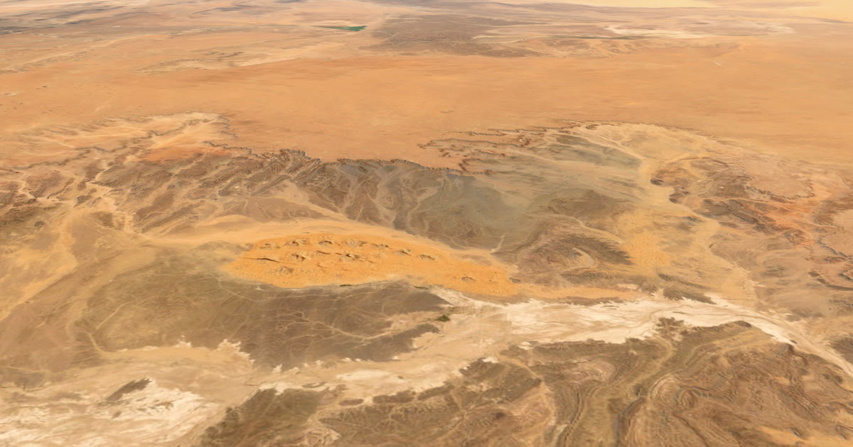
How can family follow me at the Marathon des Sables?
Start with the race's own tracking. The organiser issues every competitor a GPS beacon and follows the field itself. Only if the organiser confirms in writing that your own inReach or SPOT is allowed can you link it to AdventureLive and give family one page with the weather where you are. For other trips, see the live tracking hub.
What is the Marathon des Sables?
A multi-stage foot race in the Moroccan Sahara over about 250 km, with competitors carrying their own food. The 40th edition, the Legendary 2026, ran from 3 to 13 April 2026. Runners carry a pack of mandatory kit that must weigh between 6.5 and 15 kg before water.
It is a hard event in a remote place, and phones are strongly discouraged in camp. So the question for family is not "can I call?" but "can I see where they are?"
What tracking does the race provide?
An organiser's beacon. Under the 2026 regulation, each participant receives a GPS beacon at registration and hands it back at the finish. Losing it carries a fine; the page we read gave two different amounts (100 euros and 200 euros), so check the current figure. The regulation also says to use the beacon's distress function as a last resort, with a time penalty for using it without a valid reason.
SPOT describes itself as the official tracking partner. Its page says organisers have used SPOT Gen3 units since 2015, that officials use the location data to coordinate support, and that the data lets family, sponsors and fans follow the race live, with email alerts as an athlete nears the end of a stage. That page dates from the 2019 edition. Which provider and which family-facing pages run now is for the organiser to say, so check the race site.
AdventureLive does not try to replace that. The official page shows the whole field and is the race's record.
Can I carry my own tracker or phone?
Check the current rulebook. Here is what we found:
- 2026 regulation: mobile phones must not be used in the bivouac or at checkpoints.
- Both years: the organiser's GPS beacon is mandatory and must be returned.
- 2027 regulation: the beacon is the sole official safety and tracking device. Phones and messaging devices are banned when used to get outside help or unauthorised information, though GPS watches for strictly personal use are authorised.
- Neither page mentions satellite messengers or live tracking for family by name.
Silence is not permission, and an inReach or SPOT is a messaging device. Before you pack one, email the organiser, ask in writing, and keep the answer. If they say no, do not carry it. The 2027 regulation says using a communication device for prohibited help can bring a time penalty or confiscation, and fraudulent outside help can mean disqualification. The official beacon already tracks you.
How would AdventureLive work if my own tracker is allowed?
This only applies if the organiser says yes. AdventureLive is for friends and family to see you, with the weather where you are, from your own inReach or SPOT. It is not a race page. It shows one person.
- Plan the trip. In the web app, sign in with Google or an email link. Name the trip, add one leg. Upload a GPX if you have the stage routes, or leave the leg with no route. See plan a trip.
- Link your tracker. In My trackers, paste your inReach MapShare address and password if there is one, then press Link and test it. For SPOT, use its shared page. See link a tracker. Garmin LiveTrack needs phone signal, so it is a poor fit here.
- Choose who can see you. Findable, Link only, or People I approve.
- Name your home contacts. Up to five. See home contacts.
- Share the link. Followers can also arrive through your livedot.me link.
If the leg has a GPX route, the first position must be within 25 km of the line for the leg to go live. Going live needs nothing else: from an hour before a leg starts, the first position puts the trip live. After 12 quiet hours the line breaks, and the next position starts the next stretch, which suits stages that end at the bivouac. See going live.
If you add your own tracker, check that the interval and battery last the stage. AdventureLive reads an inReach no more than every 4 minutes and a SPOT no more than every 2.5 minutes.
What weather will family see?
The weather where you are: wind, temperature, rain and storms, now and for the next 48 hours, with alerts for strong wind and gales, heat, heavy rain and thunderstorms. It forecasts about the next 10 days, plus typical weather for your dates further out, from ten years of records. It does not show dust. For a month-by-month picture of the Sahara course, read Marathon des Sables weather.
Heat is the main safety alert that matters here. The forecast is a guide. Follow the organiser's briefings and medical staff.
What about SOS?
Rules first. The race beacon is the one the organiser monitors. If your personal tracker were allowed and sent SOS, rescue would be run by Garmin Response (inReach) or SPOT's GEOS centre, which may not coordinate with the race. AdventureLive does not run rescues, and an SOS does not email your home contacts. It emails them only when you send HELP. Ask the organiser how they want SOS handled, so only one system is in charge.
What should I tell family?
- Where the race's official tracking is, and that it is the main source.
- That the dot may be old; read "Seen … ago".
- That you cannot use a phone in camp, so quiet evenings are normal.
- That the weather page is a guide, not a promise.
Related: ultra-trail races without signal. Ready? Plan your trip.
Questions people ask
- Does Marathon des Sables have official tracking?
- Yes. The organiser issues each competitor a GPS beacon at registration, and it must be handed back at the finish. SPOT says the organiser has used SPOT trackers since 2015 (a 2019 page). Check the race's own site for how family can follow in the current edition.
- Can I use my own tracker or phone?
- The 2026 regulation says mobile phones must not be used in the bivouac or at checkpoints. The 2027 regulation calls the organiser's GPS beacon the sole official safety and tracking device, bans phones and messaging devices used to get outside help, and does not address satellite messengers directly. Treat a personal inReach or SPOT as not allowed unless the organiser tells you in writing that it is.
- Is there phone signal in the Sahara course?
- We found no source on mobile coverage on the course, and phones are strongly discouraged in camp. Do not plan around signal.
- What happens if I press SOS?
- The race beacon's SOS alerts the organisation, and using it without a valid reason carries a penalty under the 2026 regulation. Personal-device SOS is run by Garmin Response or SPOT's GEOS centre. AdventureLive does not run rescues.
- When is the next Marathon des Sables?
- The 40th edition ran from 3 to 13 April 2026, over about 250 km. Check marathondessables.com for the next edition's dates and rules.
- Do I need a route in AdventureLive?
- No. A leg can have no route, or you can upload a GPX. Followers see the dot and the line travelled.
Sources
- Marathon des Sables Legendary 40th edition race regulation 2026
- SPOT: official tracking partner to the Marathon des Sables
- Marathon des Sables Legendary 2027 regulation (beacon is the sole official tracking device; messaging devices)
- Marathon des Sables Legendary 2026 countdown (Ian Corless: phones discouraged in camp)
Related guides
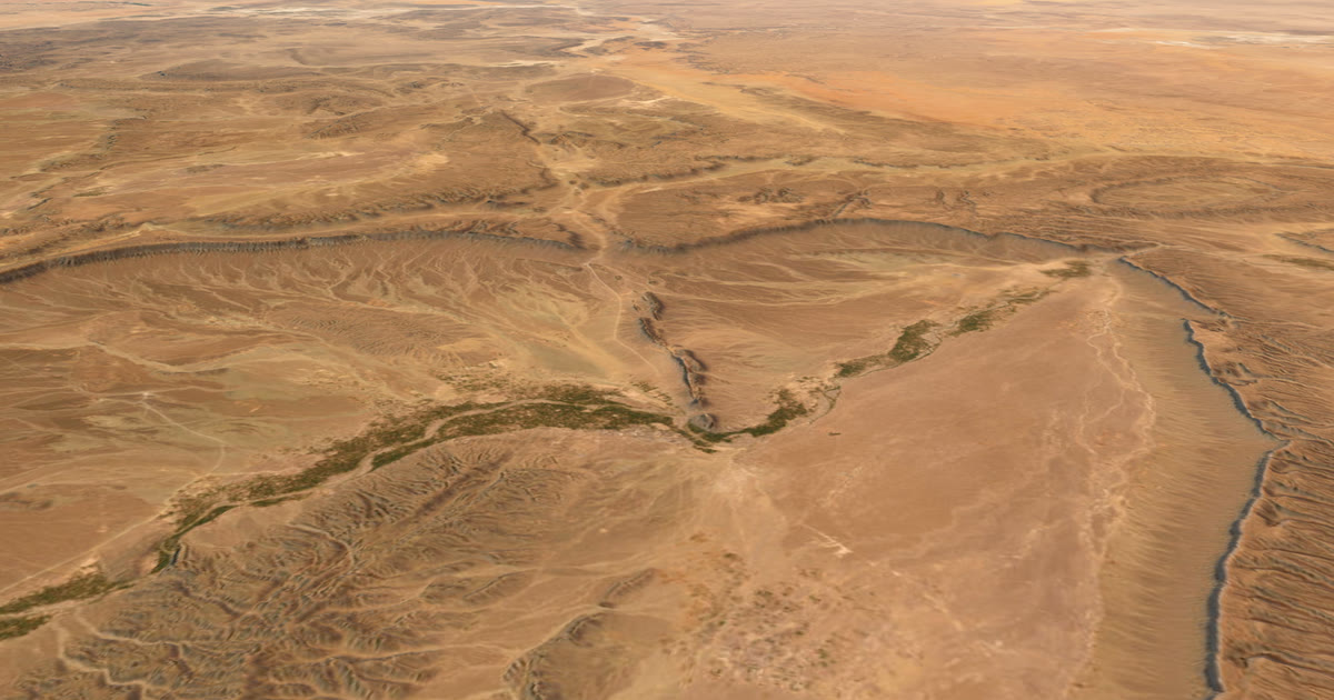 Weather data · Expedition weatherMarathon des Sables weather: how hot is April in the Sahara?Ten years of ERA5 records for Merzouga and Erg Chebbi: April afternoons average 29.4 °C, pre-dawn 17.7 °C, humidity 13%. All twelve months in a table.
 Guide · Live trackingUltra-trail live tracking when there's no signal (UTMB and more)UTMB's own live tracking covers the race. Your family also wants to know where you are and what the weather is doing. Here is how to give them both.
 Guide · Live trackingHow to let family track you live on an adventureLet family follow you live when there is no phone signal: use a satellite tracker and one link with a map, the weather where you are, and home contacts.
 Guide · Satellite trackersinReach vs SPOT vs ZOLEO for expeditionsinReach, SPOT and ZOLEO compared for expeditions: networks, coverage, tracking intervals, SOS, plan prices and weights, and which work with AdventureLive.
 Guide · Satellite trackersA SPOT shared page alternative your family will actually useSPOT's shared page shows where you are. Here is what SpotWalla and AdventureLive add: a 3D map, the weather where you are, alerts and HELP emails to home.