Guide · Live tracking
Ultra-trail live tracking when there's no signal (UTMB and more)
By AdventureLive · Updated
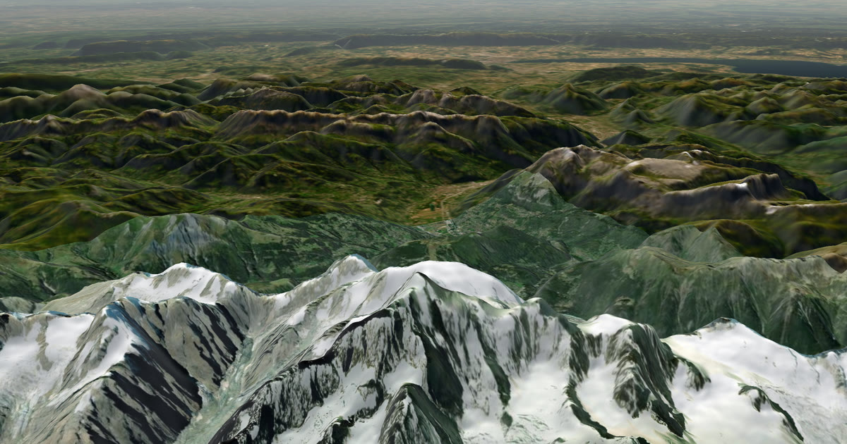
If you run a mountain ultra, the race already tracks you. Your family still has two questions the race page does not answer well: where are you on the mountain, and what is the weather doing there? This guide shows how to give them both, and what to do when your phone has no signal.
Does the race's own tracking cover my family?
The race tracks you for the organisers and for spectators at checkpoints. It is not built as a private page for your family.
At UTMB Mont-Blanc, the organisers list three ways to follow runners. There is the UTMB Live results page, which opens on the Monday of race week. There is the LiveTrail app. And there is a rented tracking beacon that goes in your pack. The organisers recommend the free LiveTrail GPS tracking for races under 10 hours and the rented beacon for longer ones. The race's regulations also refer to the LiveTrail app for SOS.
That tracking is the race's. It shows split times and a position on the course. It does not show the weather at your place on the mountain, and it is not a page you control.
What do the race rules say about phones and devices?
Read your own race's regulations, because they differ and they change each year.
For UTMB Mont-Blanc, the race's security page says a smartphone is mandatory, with international roaming switched on for the whole race and the battery in working order. It says never to put the phone in airplane mode, because the organisers need to reach you. It calls the LiveTrail app essential for your safety, and says the app does not replace phoning race headquarters. For runs beyond 15 hours it strongly recommends an external battery.
Other races go further. At Eiger by UTMB, the E250 race requires a GPS tracker supplied by the organiser, worn for the whole race, and says a watch does not replace the phone or the GPS device.
So the phone is compulsory kit. It is also the weakest link in the high valleys, because it can lose signal, and cold and long hours drain the battery.
What happens to a phone in the high valleys?
It may go quiet for hours. Mountain valleys block signal, and your phone spends its battery searching for it.
This matters for two things. A phone with no data cannot send your position to anyone. And a watch that depends on your phone has the same problem, which brings us to the Garmin question.
Will my Garmin watch's LiveTrack work with no phone signal?
Usually not. Garmin LiveTrack sends your position through the data connection of your paired phone. When the phone has no signal, the dot stops.
The exception is a Garmin watch with its own LTE. Garmin's fenix 8 Series manual lists LiveTrack as available through the phone or the fenix 8 Pro's own LTE, and not over its satellite connection. LTE only helps where the cell network reaches, and that is the thing you lack in a high valley.
We cover this in detail in Garmin LiveTrack with no phone signal: what really works.
What do I carry if I want my family to see me with no signal?
A satellite tracker. A Garmin inReach or a SPOT sends your position through satellites, not through phone masts, so it works where the phone does not.
Check first that you may carry one in your race. Then:
| Phone with LiveTrack | inReach or SPOT | |
|---|---|---|
| Needs phone signal | Yes | No, needs a view of the sky |
| Works in a deep valley | Often not | Better, but a steep wall can block it |
| Extra weight | None | The Mini 2 is 3.5 oz (about 100 g) |
| Needs a subscription | No, only Garmin Connect | Yes |
Satellite trackers need a view of the sky. In a narrow gorge or under thick forest, positions can be late. That is the nature of the technology, and it is why the dot on your family's page always says when you were last seen.
For a full comparison, see inReach vs SPOT vs ZOLEO for expeditions.
How does my family see me on AdventureLive?
They open one link in any browser. There is no app and no account.
- Sign in on the web app with Google or an email link.
- Plan a trip with a name and a start. Add a leg with the race's GPX file, or add a leg with no route.
- In My trackers, link your inReach (paste your MapShare address) or SPOT (paste your shared page link). Choose Link and test it.
- If you also use LiveTrack, add your personal LiveTrack address in Garmin Connect. You can link all of them, and the freshest position wins. There is always one dot.
- Send your family the trip link.
They see a 3D satellite map, the race route, the line you have travelled and the dot, with a note such as "Seen 22 min ago, via inReach". They also see the weather where you are, now and for the next 48 hours, and safety alerts for strong wind, severe cold, heat, heavy rain and thunderstorms, on the spot and on the route ahead.
The page updates by itself every minute. AdventureLive reads your tracker only while a trip is live, and no more often than every 4 minutes for an inReach or every 2.5 minutes for a SPOT. Your dot is only as fresh as your tracker's own interval. Help: Link a tracker.
What about SOS?
An SOS from a satellite tracker goes to a rescue centre, not to AdventureLive. Garmin Response coordinates the response for an inReach, and SPOT's GEOS centre does it for a SPOT. They talk to the rescue services.
If you name up to five home contacts in AdventureLive, each gets an email when you send a HELP message during a trip. The email has the time, the place on a map and your trip page. If you cancel it, a cancel email follows. Followers never see these emails. Details: Home contacts.
Two practical tips for race week
- Pick the interval for the race. A shorter interval gives your family a smoother dot, and uses more battery. At its 2022 launch, Garmin listed the Mini 2 at up to 14 days in 10-minute tracking and up to 30 days in 30-minute tracking.
- Test from home. Turn the tracker on, link it, and check your own trip page before you fly.
The forecast on your trip page is a guide. In the mountains, always check the race's own weather updates and local warnings.
Part of How to let family track you live on an adventure. Ready to set it up? Plan your trip.
Questions people ask
- Does UTMB track me live already?
- Yes. The race has its own live results and the LiveTrail app. The organisers recommend the free LiveTrail GPS tracking for races under 10 hours and a rented tracking beacon for longer ones. That tracking is the race's own system. AdventureLive is for your family, with the weather where you are.
- Can I carry an inReach or SPOT in a UTMB race?
- Rules differ by race and change by year, so read the regulations of your own race. The UTMB Mont-Blanc pages we read make a smartphone with roaming mandatory, and do not mention personal satellite trackers. Ask the organiser before the start if you want to carry a second device.
- My Garmin watch has LiveTrack. Is that enough in the high valleys?
- Not on its own. LiveTrack sends your position through your paired phone's data, so with no phone signal it stops. Only an LTE watch can use its own connection, and only where the LTE network reaches.
- What happens if I press SOS on an inReach or SPOT?
- Garmin Response (inReach) or SPOT's GEOS centre coordinates the rescue. Set up emergency contacts with Garmin or SPOT, because they are told on an SOS. AdventureLive does not run rescues. It emails your home contacts the time, the place on a map and your trip page when you send HELP.
- How often will my family's dot move?
- As often as your tracker sends a position. AdventureLive reads an inReach no more than every 4 minutes and a SPOT no more than every 2.5 minutes, so a 10-minute tracker interval means a new dot about every 10 minutes.
Sources
- UTMB Mont-Blanc: Follow the races (LiveTrail, rented beacon)
- UTMB Mont-Blanc: Security (smartphone, roaming, LiveTrail app, airplane mode)
- UTMB Mont-Blanc: Regulations
- Eiger by UTMB: Mandatory equipment (phone on at all times, GPS tracker worn)
- fenix 8 Series owner's manual: LTE and satellite connected features (LiveTrack over LTE only)
- Garmin: inReach Mini 2 announcement (Iridium, tracking intervals, weight)
Related guides
 Guide · Satellite trackersinReach vs SPOT vs ZOLEO for expeditionsinReach, SPOT and ZOLEO compared for expeditions: networks, coverage, tracking intervals, SOS, plan prices and weights, and which work with AdventureLive.
 Guide · Satellite trackersGarmin LiveTrack with no phone signal: what really worksGarmin LiveTrack from a watch needs your phone's data, except on LTE watches. Off-grid, use an inReach or SPOT and link both: the freshest position wins.
 How-to · Satellite trackersShare your inReach MapShare with family (and make it better)Turn on MapShare in Garmin Explore, set a password, send the link, then add the weather, alerts and home contacts by linking it to AdventureLive.
 Guide · Satellite trackersA SPOT shared page alternative your family will actually useSPOT's shared page shows where you are. Here is what SpotWalla and AdventureLive add: a 3D map, the weather where you are, alerts and HELP emails to home.
 Guide · Satellite trackersDo you need a satellite messenger for Kilimanjaro?An honest answer: Kilimanjaro guides carry radios and phones, and signal is patchy. A satellite messenger is optional but useful on summit night.