Guide · Live tracking
Overlanding live tracking: let family follow every leg
By AdventureLive · Updated
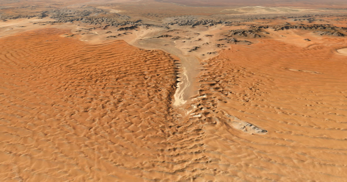
On an overland trip the stretch between towns is the trip. You may drive for days where the phone shows no bars, while family at home wonder if you are fine. This guide shows how to let them follow every leg, whatever the signal.
Why does a phone not do the job on an overland trip?
Because coverage follows people, not land. In Namibia, towns and main camps usually have signal. One guide says there is no coverage in Kaokoland, on the Skeleton Coast or around the Namib, and a safari operator warns that remote regions, including many safari camps, have limited or no signal. Both suggest a satellite phone or device for remote areas.
Other remote regions, such as parts of Botswana and the Australian Outback, can be the same, so check coverage for your own route. You can drive for hours with no data in such places. A phone app that shares your location needs data, so the dot stops when the signal does.
A satellite tracker does not need phone masts. It talks to satellites, so it can send a position from a gravel road in the desert, as long as it can see the sky.
What do I put on the vehicle?
A Garmin inReach or a SPOT. Both send your position at an interval you choose, and both have an SOS button.
- inReach uses the Iridium network. It needs a plan, and shares your position on a MapShare page.
- SPOT uses the Globalstar network and shares through a shared page. Check SPOT's coverage map for your route, because its coverage is shown as regions on a map that SPOT calls an estimate.
For a full comparison of networks, prices and weights, read inReach vs SPOT vs ZOLEO for expeditions.
Put the tracker where it sees the sky. The dashboard under a clear windscreen works for many vehicles. A metal roof or a roof tent above it can delay positions. Test on day one and again on a stretch with trees.
How do I plan a long trip as legs?
Make each day or each stretch a leg. A leg is a part of the trip with its own dates, and a leg can last an afternoon or months.
For example, a three-week Namibia self-drive can look like this:
| Leg | Stretch | Route |
|---|---|---|
| 1 | Windhoek to Sesriem | GPX |
| 2 | Sesriem to Swakopmund | GPX |
| 3 | Swakopmund to the Skeleton Coast | GPX |
| 4 | Damaraland to Etosha | no route |
On the web app, sign in with Google or an email link, plan the trip with a name and a start, then add legs. For each leg you can add a GPX file, or leave it with no route. With no route, followers see the dot and the line you actually travelled. That suits a stretch where you will pick your own track.
Families like legs because the page tells them where you are in the story: the day, the leg, and the distance on legs with a route.
How do I link the tracker?
- In Garmin Explore, turn on MapShare. Your address looks like share.garmin.com/YourName.
- In AdventureLive, open My trackers, choose Garmin inReach, paste the address and the password if you set one, then choose Link and test it.
- For a SPOT, create a shared page in your SPOT account, copy the link, and paste it in My trackers with the feed password if there is one.
You can link several devices, such as an inReach on the dash and a SPOT in the camper. The freshest position wins, and followers always see one dot. Help: Link a tracker.
AdventureLive reads your tracker only while a trip is live, no more often than every 4 minutes for an inReach or 2.5 minutes for a SPOT. The dot is as fresh as your tracker's own interval. On a long drive a 10-minute interval is a sensible balance of battery and detail.
What do followers see?
They open a link in any browser. No app, no account, unless you set the trip for approved people only.
- A 3D satellite map, the planned route if you have one, the line travelled so far and the dot.
- A note such as "Seen 22 min ago, via inReach".
- Check-ins: messages you send from the device.
- The weather where you are, now and for the next 48 hours.
- Safety alerts for strong wind and gales, heat, heavy rain and thunderstorms, where you are and on the route ahead.
- The day, the leg and the distance.
The page refreshes by itself every minute. Followers can see a plan in advance with Fly the route, where the camera flies along a leg on the 3D map.
What about the weather for a trip months away?
Before you go, the trip page shows typical weather for your dates, from ten years of records. When you are within about ten days, it shows the forecast. For a Namibia trip, read Namibia weather for overlanding to pick the month.
The forecast is a guide. Check local forecasts and warnings, especially for flash floods in dry river beds and for desert heat.
What do I do about the long quiet stretches?
Nothing. Going live needs no clicks. From an hour before a leg starts, the tracker's first position puts the trip live. On a leg with a route, the position must be within 25 km of the line. You can also use Start now, Pause, Resume and End trip by hand from any phone's browser.
After 12 quiet hours the line breaks, and the next position starts the next stretch. So an overnight stop at a camp does not draw a false line across the desert.
How do I let home contacts know if something goes wrong?
Name up to five home contacts in AdventureLive. If your inReach or SPOT sends a HELP message during a trip, each gets an email with the time, the place on a map and the trip page. If it is cancelled, a cancel email follows. Followers never see it.
The rescue itself is Garmin Response's job for an inReach and SPOT's GEOS centre's job for a SPOT. AdventureLive does not run rescues. See Home contacts.
Checklist before you leave
- Tracker charged, plan active, interval set.
- MapShare or shared page on, linked and tested from home.
- Trip planned with legs.
- Trip link sent to family, who can open it before you leave.
- Home contacts named.
Part of How to let family track you live on an adventure. For two wheels, see motorbike tour live tracking. Plan your trip.
Questions people ask
- Will my phone work for tracking on a Namibia self-drive?
- In towns and main camps, often yes. Between them, often not. One guide we read says there is no coverage in Kaokoland, on the Skeleton Coast or around the Namib, so a satellite tracker is the safer way to be seen by family.
- Should I plan one leg per day or one leg for the whole trip?
- Either works. A leg can last an afternoon or months. One leg per day or per stretch gives followers a clear 'Day 6, leg 3' on the page, and lets you add a GPX per leg.
- Do I need a route for every leg?
- No. A leg can have a GPX file, or no route at all. With no route, followers see the dot and the line actually travelled.
- Where should I mount the tracker?
- Where it has a clear view of the sky, such as on the dashboard under the windscreen or on the roof. Metal roofs and heavy cover can delay positions. Test it from home and on your first day.
- What if I need help?
- Press SOS on the inReach or SPOT. Garmin Response (inReach) or SPOT's GEOS centre runs the rescue. Set up emergency contacts with Garmin or SPOT, because they are told on an SOS. AdventureLive emails your home contacts the time, the place on a map and your trip page when you send a HELP message.
Sources
- Drive South Africa: using a mobile device in Namibia (no coverage in Kaokoland, Skeleton Coast; satellite phone advice)
- Wild Wings Safaris: Mobile coverage and internet in Namibia (remote regions and many camps have limited or no signal)
- Garmin: Share your journey with inReach and MapShare
- SPOT: How do I share my locations with others?
- SPOT coverage map page
Related guides
 Weather data · Expedition weatherNamibia weather by month for overlandingTen years of ERA5 records for Windhoek, Sossusvlei and Etosha: rain, afternoon and pre-dawn temperatures by month, and the best months to go by region.
 Guide · Satellite trackersinReach vs SPOT vs ZOLEO for expeditionsinReach, SPOT and ZOLEO compared for expeditions: networks, coverage, tracking intervals, SOS, plan prices and weights, and which work with AdventureLive.
 Guide · Live trackingMotorbike tour live tracking: let family follow every dayA tracker on the bike or the jacket, one leg per riding day, and a link for the people at home: how to live-track an adventure motorbike tour.
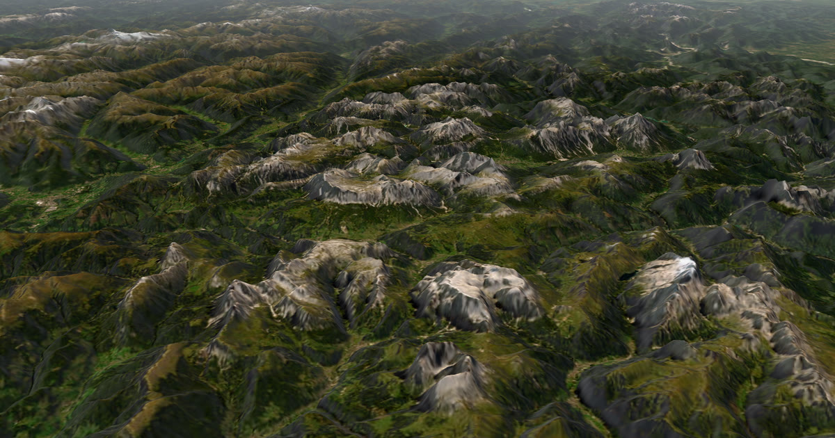 How-to · Satellite trackersShare your inReach MapShare with family (and make it better)Turn on MapShare in Garmin Explore, set a password, send the link, then add the weather, alerts and home contacts by linking it to AdventureLive.
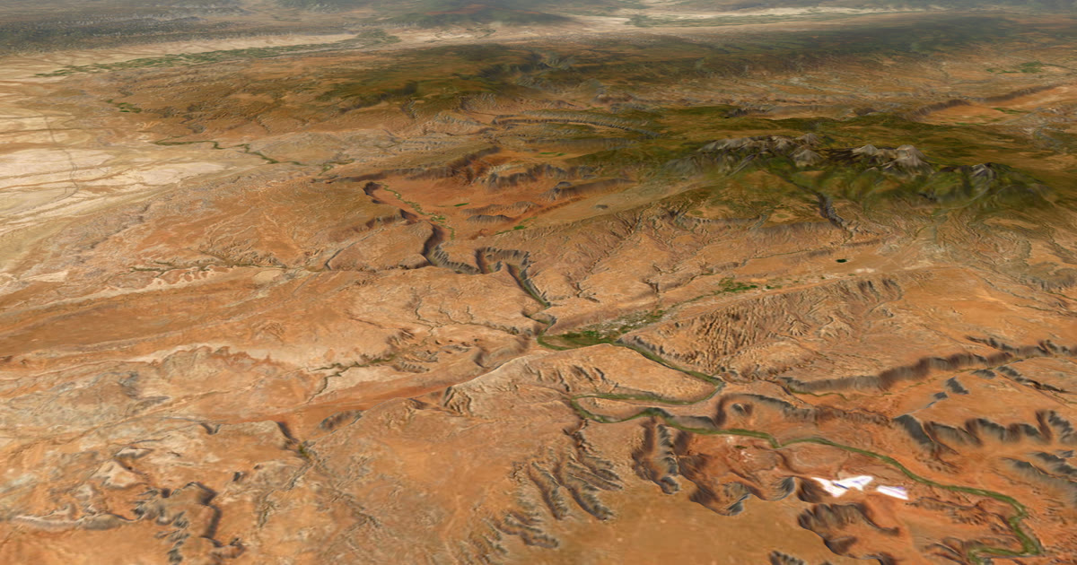 Guide · Satellite trackersA SPOT shared page alternative your family will actually useSPOT's shared page shows where you are. Here is what SpotWalla and AdventureLive add: a 3D map, the weather where you are, alerts and HELP emails to home.