Comparison · Comparisons
AdventureLive vs Strava Beacon: which should you use?
By AdventureLive · Updated
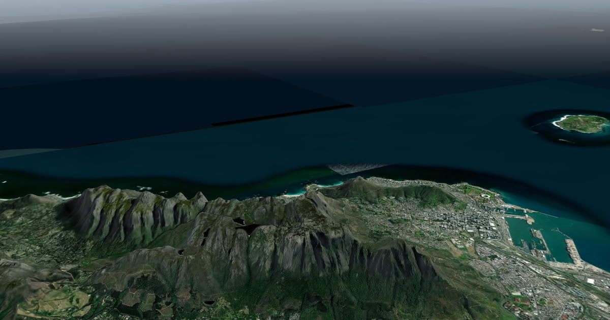
What is the difference between AdventureLive and Strava Beacon?
Strava Beacon shares your live position from the Strava phone app. AdventureLive shows a trip from a satellite tracker or a Garmin that you already carry. They solve different problems, and AdventureLive cannot stand in for Beacon: it does not run on a phone, and it needs an inReach, a SPOT or a Garmin with LiveTrack behind it.
We make AdventureLive, so weigh our view with that in mind. Everything about Beacon below comes from Strava's own support page and two news and guide pieces, linked under Sources. This page is part of our guide to the best live tracking for adventures.
At a glance
| Strava Beacon | AdventureLive | |
|---|---|---|
| What it needs | The Strava phone app, recording an activity | An inReach (via MapShare), a SPOT (via its shared page) or Garmin LiveTrack |
| Replaces your tracker or its plan? | Not applicable: it runs on your phone | No. You keep the device, its plan and MapShare |
| Works without phone signal? | No. Strava says it needs cellular service | Yes with an inReach or SPOT. LiveTrack needs phone signal |
| Cost to you | Strava's page does not state a cost. Other pieces we read say free in the phone app | Free, thanks to ProLend. Your tracker and its plan are your cost |
| Who can follow | Up to three safety contacts, by text link | Anyone you give the link to, or only people you approve |
| What followers see | Current and past location, start point, status, last update, battery | 3D satellite map, route, line travelled, dot, check-ins, "Seen 22 min ago" |
| Weather where you are | Not stated on the page we read | Yes, now and for 48 hours, with safety alerts |
| Alerts to family | Not stated on the page we read | Up to 5 home contacts get HELP emails |
| Needs an app or account to follow | No, a browser link | No app, no account (unless the trip is for approved people only) |
What does Strava Beacon do well?
Beacon is quick. Strava's page says you open Record, choose Share Live Location, switch Beacon on, send a text and start recording. Your contacts get a link that opens in a mobile browser. They see your current and past location, where you started recording, whether you are recording and when it last updated. Expanded, the view shows the start time, time active and your remaining battery percentage.
It updates about every 15 seconds, depending on cell service, which is far more often than a satellite tracker reports. You need nothing beyond the phone you already have. For a run, a ride or a hike near a town, that is hard to beat. When you save the activity, your contacts can see the finished activity.
Its limits are stated plainly. Beacon needs cellular service to update and does not work in airplane mode. Contacts see you only while you are recording with Beacon on. On cost, Strava's support page does not say; BikeRadar's report on the relaunch and a WhistleOut guide describe the phone feature as free, with connected devices needing a subscription. Check Strava before you rely on it.
What does AdventureLive do well?
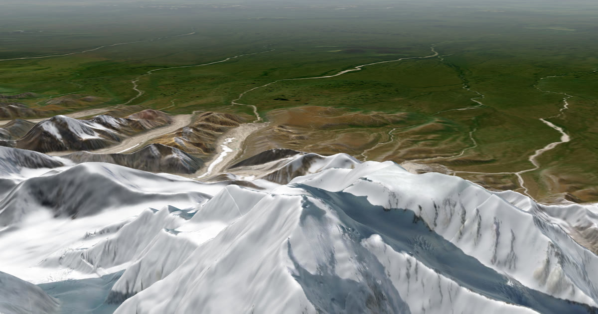
AdventureLive is for trips where there is no signal to lean on. Followers open a link on any phone with no app and no account. They see a 3D satellite map, your planned route, the line you have actually travelled and your dot, with "Seen 22 min ago, via inReach". They see the weather where you are now and for the next 48 hours, with safety alerts for strong wind, gales, severe cold, heat, heavy rain and thunderstorms, where you are and on the route ahead.
You name up to five home contacts. If your inReach or SPOT sends a HELP message during a trip, each gets an email with the time, the place on a map and the trip page. A cancel email follows if you cancel it. Followers never see that.
Planning is on the web. Sign in with your email and password, confirmed by a 6-digit email code, or with Google. A leg can have a GPX route or no route, which suits an ocean row or a long sail. You can fly the route in 3D before you go. Start with plan a trip.
It has limits you should know. AdventureLive is not a phone tracking app, and it does not read Strava. It needs an inReach, a SPOT or a Garmin watch or bike computer with LiveTrack, plus that device's own plan. There is no phone app. Your dot is only as fresh as the tracker's own interval, and AdventureLive reads an inReach at most every 4 minutes and a SPOT every 2½ minutes, only while a trip is live.
When should you choose Strava Beacon?
Choose Beacon when:
- you have mobile signal for the whole outing;
- you only want one to three people to watch a run, ride or short hike;
- you want updates every few seconds, not every few minutes;
- you do not own a satellite tracker and do not plan to.
When should you choose AdventureLive?
Choose AdventureLive when:
- you already carry, or will rent, an inReach or SPOT, or you wear a Garmin with LiveTrack;
- your route goes beyond cell coverage, on a mountain, at sea or in a desert;
- your family wants the weather where you are, next to your dot;
- you want named people to get an email on HELP.
To start, Plan your trip and then link a tracker. Choose who can see you in who can see you and set up home contacts.
Which is better for a hike on Table Mountain or a trek in the Alps?
It depends on the route. If your whole route has mobile coverage, as a short walk near a city may, Beacon can be enough for a day walk: it is quick and updates often. Check your coverage on the route first, because Strava says Beacon needs cellular service. On a multi-day trek, a summit attempt or anywhere the signal drops, a satellite tracker is the safer way to be followable, and AdventureLive shows that tracker to your family with the weather where you are. Many people use Beacon on the way to the trailhead and the tracker once coverage ends. For a longer example, read Kilimanjaro live tracking and our guide to how to let family track you live on an adventure.
Can you use both?
Yes, but they do not feed each other. Beacon sends a text from Strava. AdventureLive reads your tracker. On a trek that starts in a town, you could run Beacon for the first stretch with signal, and rely on the tracker and the AdventureLive page once you leave coverage. Tell your family which link is which.
What about an emergency?
Neither is a rescue service. An SOS from your inReach or SPOT goes to Garmin Response or SPOT's emergency centre, which runs the rescue and tells the emergency contacts you set up with Garmin or SPOT. Set those up. AdventureLive emails home contacts on HELP only. The forecast on the page is a guide, so check local forecasts and warnings before you go.
Questions people ask
- Does Strava Beacon work without cell signal?
- Strava's Beacon page says it needs cellular service to update your location and does not work in airplane mode. Without signal, contacts cannot see you move. A satellite tracker such as an inReach or SPOT is built for that case.
- Can AdventureLive track me from the Strava app?
- No. AdventureLive is not a phone tracking app and does not read Strava. It needs an inReach, a SPOT or a Garmin watch or bike computer using LiveTrack, plus that device's own plan.
- How many people can follow me with Strava Beacon?
- Strava's page says you can pick up to three safety contacts. They get a text with a link and can open it in a browser.
- Is AdventureLive free?
- AdventureLive is free, thanks to ProLend. You still pay for your own tracker and its satellite plan, which AdventureLive does not replace.
- What happens if I press SOS on my tracker?
- The tracker sends the SOS to Garmin Response or SPOT's emergency centre, which runs the rescue and tells your emergency contacts. AdventureLive does not email SOS. It emails up to five home contacts when the tracker sends a HELP message.
Sources
Related guides
 Comparison · ComparisonsAdventureLive vs Garmin LiveTrack: which should you use?Garmin LiveTrack shares a live page from your Garmin and phone. AdventureLive reads it and adds a 3D map, weather and HELP emails. From Garmin's manuals.
 Comparison · ComparisonsAdventureLive vs Garmin MapShare: which should you use?Garmin MapShare and AdventureLive both show an inReach to family. Here is what each does, what it costs and when to use both, from their own pages.
 Comparison · ComparisonsAdventureLive vs the SPOT shared page: which to use?SPOT Shared View shows your tracking and messages to family. AdventureLive reads the same feed and adds weather and HELP emails. A fair comparison.
 Guide · Satellite trackersinReach vs SPOT vs ZOLEO for expeditionsinReach, SPOT and ZOLEO compared for expeditions: networks, coverage, tracking intervals, SOS, plan prices and weights, and which work with AdventureLive.
 Guide · Live trackingHow to let family track you live on an adventureLet family follow you live when there is no phone signal: use a satellite tracker and one link with a map, the weather where you are, and home contacts.