Weather data · Expedition weather
Marathon des Sables weather: how hot is April in the Sahara?
By AdventureLive · Updated
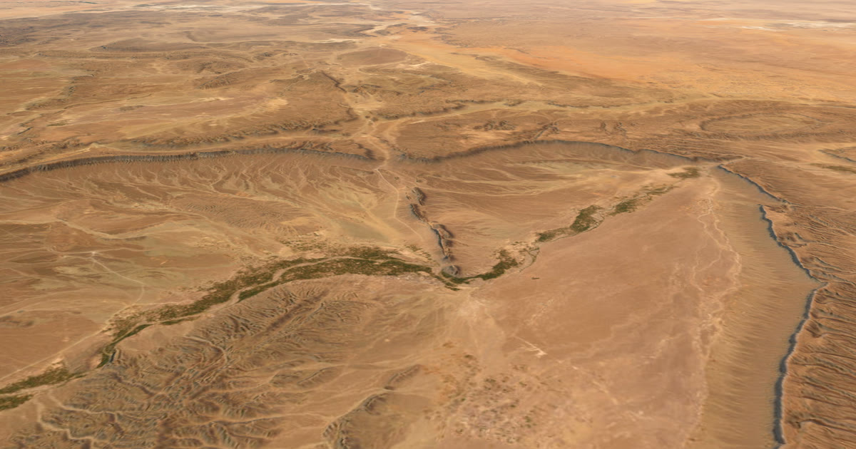
The Marathon des Sables is held in the Moroccan Sahara in spring. This guide shows how hot that month usually is, how cold the pre-dawn gets, and how the Sahara looks the rest of the year, from ten years of records.
How hot is April in the Sahara?
April afternoons at Merzouga average 29.4 °C. The hottest April of the ten years averaged 31.6 °C at 15:00, and the coolest averaged 27.2 °C.
That is comfortable by Sahara standards. These are monthly means of the 15:00 hour, so individual afternoons are hotter. The sand surface in full sun is far hotter than the air.
Pre-dawn is mild: about 17.7 °C, from 15.9 °C to 19.5 °C across the ten years. The daily swing is nearly 12 °C.
What does the whole year look like?
April, the race month, is in bold. The table is for the Merzouga and Erg Chebbi area, at 31.1°N 4.0°W.
| Month | Afternoon (°C) | Pre-dawn (°C) | Afternoon humidity | Wind, all-day (km/h) | Rain (mm) |
|---|---|---|---|---|---|
| Jan | 18.3 | 6.4 | 22% | 11.1 | 3.6 |
| Feb | 20.5 | 9.3 | 20% | 12.9 | 5.8 |
| Mar | 24.5 | 13.1 | 16% | 15.4 | 5.4 |
| Apr | 29.4 | 17.7 | 13% | 17.9 | 2.0 |
| May | 33.7 | 21.8 | 11% | 18.0 | 2.5 |
| Jun | 38.3 | 25.9 | 9% | 17.3 | 0.9 |
| Jul | 42.3 | 30.2 | 8% | 14.7 | 0.7 |
| Aug | 40.9 | 29.6 | 11% | 14.2 | 3.2 |
| Sep | 35.8 | 24.8 | 15% | 14.3 | 16.6 |
| Oct | 29.8 | 19.0 | 19% | 13.1 | 3.9 |
| Nov | 23.6 | 12.5 | 22% | 11.2 | 4.0 |
| Dec | 19.2 | 7.8 | 26% | 10.5 | 5.0 |
Source: ERA5 (Copernicus Climate Change Service), 2015–2024.
Method: bilinear-interpolated 0.25° ERA5 values at 31.1°N 4.0°W: 2 m temperature and dewpoint at 15:00 (afternoon) and 05:00 (pre-dawn), as monthly means for each hour; relative humidity from temperature and dewpoint; the 10 m wind as an all-day mean; and total rain as a monthly total.
Caveats:
- Times are UTC hours, approximately local for Morocco (UTC+1 for most of the year).
- These are means of the 15:00 and 05:00 hours. The hottest afternoons in a month run several degrees above the mean.
- ERA5 is a grid of about 31 km. The cell averages over desert, so dune-surface temperatures in full sun are much higher than the air temperature.
- Wind is at 10 m. Sandstorm gusts are well above the all-day mean.
- Rain in the Sahara is rare and patchy. The monthly total is dominated by a few events.
What was the hottest April in ten years?
The hottest April averaged 31.6 °C at 15:00. The coolest averaged 27.2 °C. So the monthly average moves about 4 °C from year to year, and an unusually hot year is a real possibility.
Pre-dawn moves too. The coldest April pre-dawn averaged 15.9 °C, and the warmest 19.5 °C.
Use the hot end of the range when you plan for heat, not the middle. For the same reason, treat 29.4 °C as the middle of a range of afternoons, not a ceiling.
How does April compare with the other months?
April is the middle of the warm months, not the peak.
- January: afternoons 18.3 °C, pre-dawn lows of 6.4 °C.
- April: 29.4 °C afternoons, 17.7 °C pre-dawn.
- July: the peak. 42.3 °C at 15:00, and the hottest year averaged 43.6 °C. It is still 30.2 °C at 05:00.
In July, the pre-dawn is as warm as an April afternoon. Nights give no relief.
How dry and windy is it?
Very dry. April afternoon humidity averages about 13%, and about 30% before dawn. Rain in April averages 2 mm, and up to 9 mm in the wettest year.
The wettest month is September, at about 17 mm on average, usually from a few thunderstorms. Every other month averages under 6 mm.
Wind is a feature. The all-day mean in April is about 18 km/h, from 14.7 to 19.9 km/h across the ten years. The afternoon wind in April comes from the south-south-west. March to June are the windiest months, at about 15–18 km/h. Expect sand in the air on gusty days.
What are the months either side of April like?
March is cooler: 24.5 °C in the afternoon and 13.1 °C before dawn, with 16% afternoon humidity. May is hotter: 33.7 °C in the afternoon and 21.8 °C before dawn, with 11% humidity.
So a week either way matters. The monthly average rises about 4 to 5 °C from March to April, and again from April to May. If the race date moves, expect the heat to move with it.
What does this mean for preparing?
Use typical weather to prepare. It cannot tell you the weather on race day.
- Train for the heat range, not the average. Plan for afternoons above 30 °C.
- Plan for the daily swing. About 12 °C between afternoon and pre-dawn means you need warmth at dawn.
- Plan for dry air and wind. Sand in the air affects eyes, lungs and gear.
- Treat the sand as hotter than the air. ERA5 gives air temperature, not ground temperature.
Typical weather helps you choose and prepare. Always check the forecast and local warnings before you go.
How can family follow the race?
Phone signal is not reliable in the desert. A Garmin inReach or SPOT sends positions by satellite. Link it to AdventureLive, add each stage as a leg with a GPX, and share the trip link.
Followers open it in any browser, with no app or account. They see your dot on a 3D satellite map, when you were last seen, and the weather where you are, with alerts for heat and strong wind. When a HELP message is sent, the home contacts you name get an email. An SOS goes to your tracker's emergency centre, not to AdventureLive. Rescue itself is Garmin Response's or SPOT's GEOS centre's job, not AdventureLive's.
The set-up is in Marathon des Sables live tracking. For long races without phone signal, see ultra-trail live tracking without signal. To compare other expeditions, see the expedition weather hub.
AdventureLive shows typical weather for your dates when you plan, and the forecast closer in. It is free, thanks to ProLend.
Contains modified Copernicus Climate Change Service information (2026). Neither the European Commission nor ECMWF is responsible for any use of this information.
Questions people ask
- How hot is the Marathon des Sables?
- In April, afternoons at Merzouga average 29.4 °C, and the hottest April of the ten years averaged 31.6 °C at 15:00. Individual afternoons are hotter than the monthly average, and the sand surface is far hotter than the air.
- How cold is it at night in the Sahara in April?
- Mild. Pre-dawn averages about 17.7 °C, and across the ten years it ranged from 15.9 °C to 19.5 °C. The swing between afternoon and pre-dawn is nearly 12 °C.
- Is the Sahara humid in April?
- No. Afternoon relative humidity averages about 13%, and about 30% before dawn. Dry air makes sweat evaporate fast, so you can lose fluid without feeling wet.
- Does it rain during the Marathon des Sables?
- Rarely. April averages 2 mm, and the wettest April of the ten years had 9 mm. The wettest month is September, at about 17 mm.
- How windy is the Sahara in April?
- The all-day average is about 18 km/h, between 14.7 and 19.9 km/h across the ten years. March to June are the windiest months. Expect sand in the air on gusty days.
Sources
Related guides
 Guide · Expedition weatherExpedition weather by month, from ten years of recordsTypical weather by month for Kilimanjaro, the Atlantic row, the Marathon des Sables and Namibia, from ten years (2015–2024) of ERA5 records.
 Guide · Live trackingHow to let family track you live at Marathon des SablesMarathon des Sables has its own official tracking. Here is what the rulebook says about phones and trackers, and what you can use AdventureLive for.
 Guide · Live trackingUltra-trail live tracking when there's no signal (UTMB and more)UTMB's own live tracking covers the race. Your family also wants to know where you are and what the weather is doing. Here is how to give them both.
 Weather data · Expedition weatherNamibia weather by month for overlandingTen years of ERA5 records for Windhoek, Sossusvlei and Etosha: rain, afternoon and pre-dawn temperatures by month, and the best months to go by region.