Guide · Satellite trackers
Do you need a satellite messenger for Kilimanjaro?
By AdventureLive · Updated
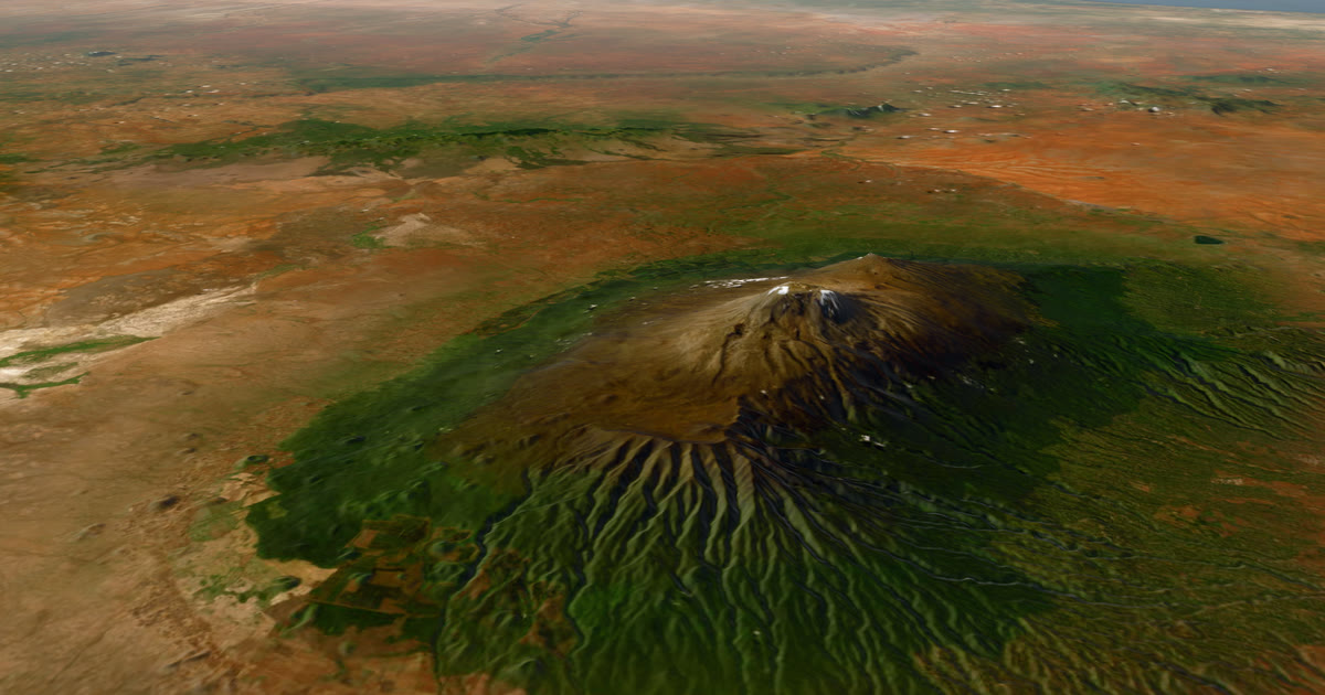
You do not need a satellite messenger to climb Kilimanjaro. Plenty of people summit with only a phone and a guide. But there are two good reasons to take one: summit night, and the family at home. This guide gives the honest case for and against.
Is there phone signal on Kilimanjaro?
Sometimes, and nobody agrees where. Operator sources we read differ.
- One says there is mobile signal almost all the way to the summit, with a few black spots.
- Others say signal is patchy above about 3,000 m, with the lower sections better, and that you should plan for no service.
- A 2022 radio report said Tanzania's state telecom company had installed broadband at 12,200 feet and aimed to bring connectivity to the summit. Newer operator pages describe the connection as limited and unreliable.
One operator page says there is no electricity on the mountain and advises power banks and airplane mode to save battery. Summit night is the hardest time to depend on a phone.
The sensible plan: assume you will not have signal when you need it.
What do the guides carry?
Radios and phones. One source says guides continue to rely on radios and satellite communication for safety, and others say satellite devices are expensive and usually unnecessary on a standard climb. Your guides, not your family, are the first line of help on the mountain.
Ask your operator: what do the guides carry, what is the alarm plan, and is a satellite messenger allowed or recommended on your route. A good operator will answer it plainly.
So why carry one?
Three reasons, none of them required.
- Summit night. You are above the signal you had in camp, cold and tired. A tracker that sends a position without a phone gives your party one more way to be found.
- Your family. A phone with no signal is a dead dot. A satellite tracker keeps sending, so a mother in another country sees you moving up the mountain, not just a last known position.
- Backup. If your group splits or a porter's phone dies, the tracker is a second device.
Against: it costs money for the device and a plan, it is one more thing to charge in the cold, and a guided party already has its guides.
What can I carry?
| Garmin inReach Mini 2 | SPOT Gen4 | ZOLEO | |
|---|---|---|---|
| Weight | 3.5 oz | 5 oz | 150 g (5.3 oz) |
| Plan | Garmin plans, check Garmin's page | Basic $11.95 a month on a 12-month contract, $29.95 activation | Prepare $19.99 a month, $19.99 activation |
| SOS | Garmin Response | GEOS | Global two-way SOS |
| Works in AdventureLive | Yes | Yes | No |
Prices are at the time of writing (2026), and change. For the full comparison, including networks and coverage, read inReach vs SPOT vs ZOLEO for expeditions. A SPOT's coverage is shown as regions on a map, so check the map for Tanzania before you buy.
Can I rent one?
Possibly, but we could not verify a specific provider or price, so we do not list one. Ask your operator first, because some outfitters hold gear for clients. Then check rental shops that serve East Africa. Whatever you rent, ask about the plan: a device needs an active plan to send anything, and some plans have a minimum term.
How does my family follow me?
With one AdventureLive link. They need no app and no account.
- In Garmin Explore, turn on MapShare, or create a SPOT shared page.
- Sign in on the web app with Google or an email link.
- Plan a trip with a name and a start. Add a leg for your route, with a GPX or with no route.
- In My trackers, link your inReach (MapShare address) or SPOT (shared page link). Choose Link and test it.
- Send the trip link to your family.
They see a 3D satellite map, the route, the line you have climbed and the dot, with "Seen 22 min ago, via inReach". They also see the weather where you are, now and for the next 48 hours, and safety alerts for strong wind and gales, freezing or severe cold, heat, heavy rain and thunderstorms, where you are and on the route ahead. The page updates every minute.
AdventureLive reads your tracker only while a trip is live, no more often than every 4 minutes for an inReach or every 2.5 minutes for a SPOT. The dot is only as fresh as the tracker's interval. Help: Link a tracker. For the whole climb, read Kilimanjaro live tracking, and for the best month to climb, Kilimanjaro summit weather by month.
If you wear a Garmin watch, you can add its LiveTrack too, but it needs your phone to have signal. See Garmin LiveTrack with no phone signal.
What happens on SOS?
Pressing SOS on an inReach sends it to Garmin Response. On a SPOT, it goes to its GEOS centre. They coordinate the rescue. On Kilimanjaro, that means working with the operator and the national park, so tell your operator you carry one.
AdventureLive does not run rescues. An SOS goes to them, and they tell the emergency contacts you set with Garmin or SPOT, so set those up. AdventureLive emails up to five home contacts the time, the place on a map and your trip page if a HELP message is sent during a trip, and a cancel email follows if it is cancelled. Followers never see it. See Home contacts.
What should I do before I fly?
- Ask your operator what the guides carry and whether a tracker is welcome on your route.
- Decide whether it is worth the device and plan cost for one week. A plan can be paused after, and a rental avoids the device cost.
- Turn it on at home, link it, and test your trip page before you leave.
- Name your home contacts, and tell your family what a quiet few hours on summit night means: you are climbing slowly in the cold, and the dot may update only every 10 minutes or so.
- Keep it charged and somewhere you can reach it on summit night.
Your family can open the trip page before you start. They see the planned route and the typical weather for your dates, from ten years of records, and then the forecast once the climb is within about 10 days.
The short answer
- Not required. Guides carry radios and phones.
- Useful for summit night, for your family and as a backup.
- If you take one, link it in AdventureLive so the people at home see the dot and the weather.
The forecast is a guide, so follow your guides' judgement and local warnings. Plan your trip.
Questions people ask
- Is there phone signal on Kilimanjaro?
- Operators disagree. Some say signal reaches near the summit with black spots. Others say it is patchy above about 3,000 m and that the summit is unreliable, so you should plan for no service. A 2022 report said Tanzania's telecom company installed broadband up to 12,200 feet, but newer operator pages call it limited.
- Do guides carry radios?
- One operator source we read says guides continue to rely on radios and satellite communication for safety. Ask your operator what they carry and how they raise an alarm.
- Can I rent a satellite messenger for the climb?
- We could not verify rental prices or a specific rental provider. Ask your operator first, then check rental shops that serve Tanzania. A SPOT or inReach needs an active plan, so rental terms matter.
- Will my family see me if I carry one?
- Yes. Link it in AdventureLive and they open one link, no app, and see your dot on a 3D map with the weather where you are for the next 48 hours.
- What happens if I press SOS?
- Garmin Response (inReach) or SPOT's GEOS centre coordinates the rescue. Set up emergency contacts with Garmin or SPOT, because they are told on an SOS. AdventureLive emails your home contacts the time, the place on a map and your trip page when you send a HELP message, and does not run rescues.
Sources
- Footslopes Tours: Can you get phone signal on Kilimanjaro?
- Follow Alice: Does Kilimanjaro have cellphone reception and internet?
- Operator site: Is there cell phone service on Kilimanjaro?
- Tranquil Kilimanjaro: Is there phone signal or network coverage on Mount Kilimanjaro?
- NHPR: Mount Kilimanjaro climbers can share slope selfies in real time thanks to new Wi-Fi (2022)
- Garmin: inReach Mini 2 announcement (3.5 oz, plan required, SOS to response centre)
- SPOT service plans (Gen4 prices, tracking intervals)
- ZOLEO: What a satellite messenger really costs
Related guides
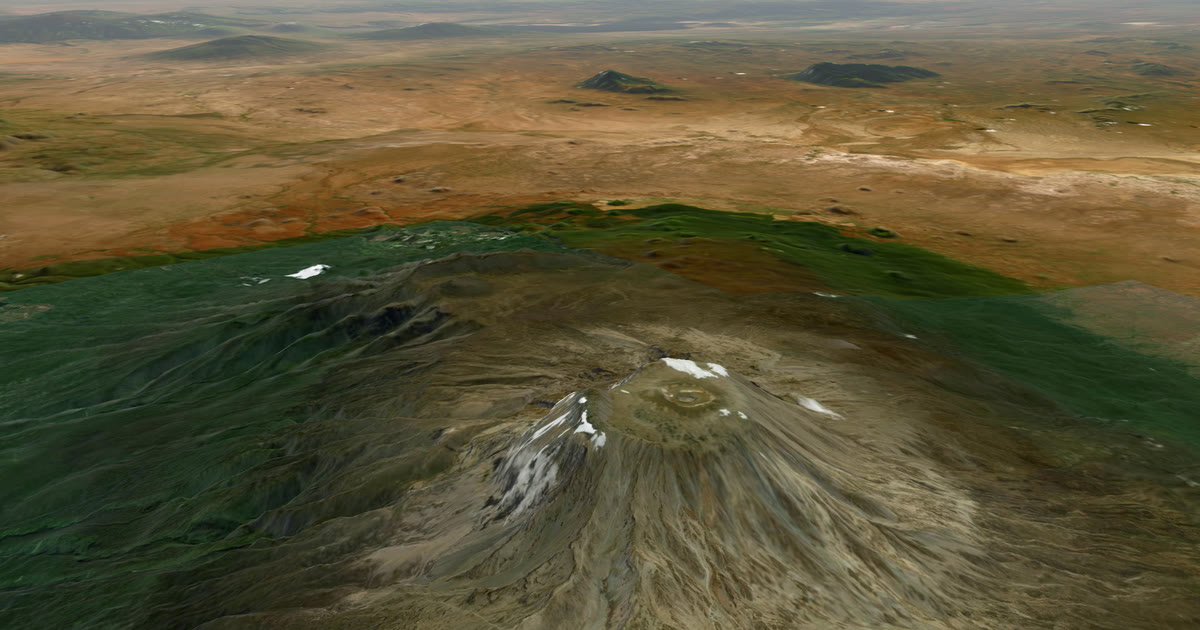 How-to · Live trackingHow to let family track you live on KilimanjaroPhone signal on Kilimanjaro is patchy. Carry an inReach or SPOT and share one AdventureLive link so family see you on the mountain, summit night included.
 Guide · Satellite trackersinReach vs SPOT vs ZOLEO for expeditionsinReach, SPOT and ZOLEO compared for expeditions: networks, coverage, tracking intervals, SOS, plan prices and weights, and which work with AdventureLive.
 How-to · Satellite trackersShare your inReach MapShare with family (and make it better)Turn on MapShare in Garmin Explore, set a password, send the link, then add the weather, alerts and home contacts by linking it to AdventureLive.
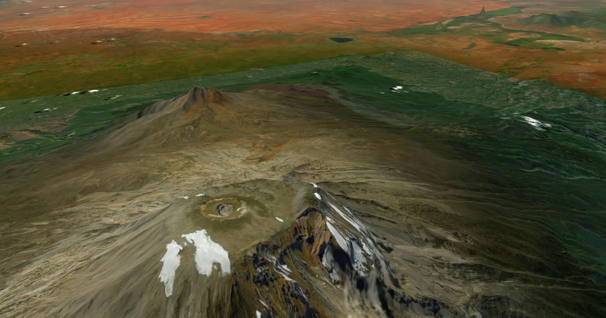 Weather data · Expedition weatherKilimanjaro summit weather by month: wind, cold and wind chillTen years of ERA5 records for Uhuru Peak: summit-night temperature, wind, wind chill and rain by month, and which months are driest and least windy.
 Guide · Satellite trackersGarmin LiveTrack with no phone signal: what really worksGarmin LiveTrack from a watch needs your phone's data, except on LTE watches. Off-grid, use an inReach or SPOT and link both: the freshest position wins.