Weather data · Expedition weather
Kilimanjaro summit weather by month: wind, cold and wind chill
By AdventureLive · Updated
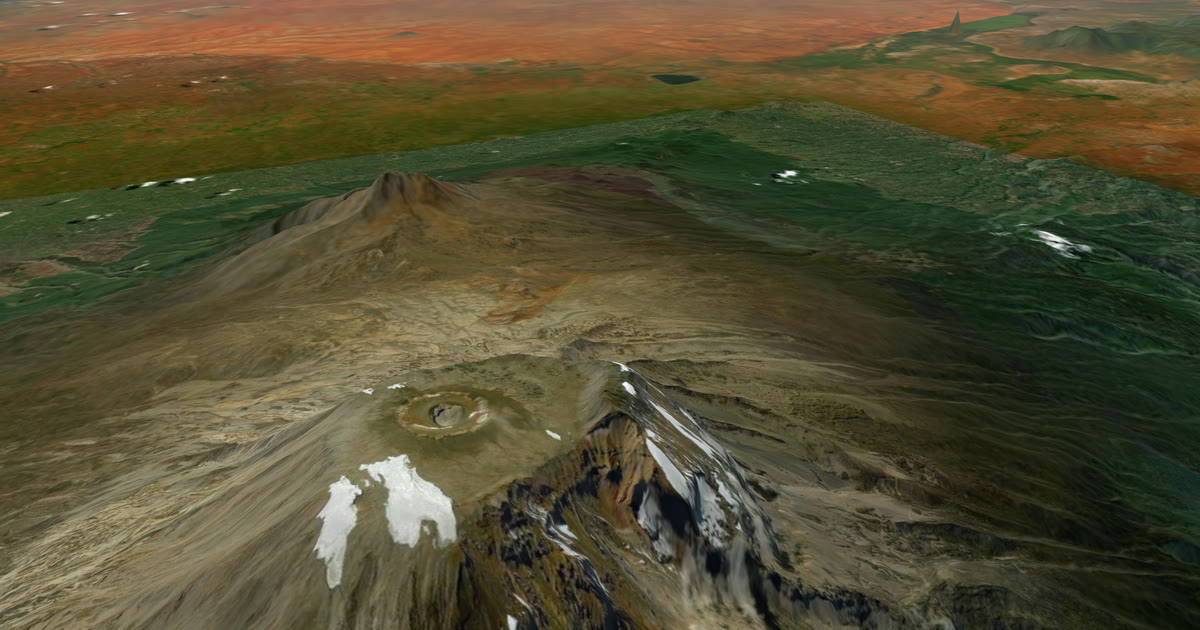
Kilimanjaro sits almost on the equator, so the seasons barely change the temperature. What changes is the wind, and the rain. This guide shows both, by month, from ten years of records.
What is the best month to climb Kilimanjaro?
June to September is the driest window. May and June are the least windy, with wind of 30 km/h or more on only 6% of summit nights.
July to September are drier than the rest of the year, but windier than May and June: 13% of nights in July, 15% in August and 10% in September are at 30 km/h or more. Even the best months are not calm.
Is there a second good window in December to February?
The data does not show a calm one. December to February are among the windier months: 20–22% of summit nights are at 30 km/h or more.
February is the least wet of the wet-season months, with about 293 mm at the surface cell, against 367 mm in December and 385 mm in January. These are ERA5 figures, which run high, so use them only to compare months. If you climb then, plan for wind and a colder feel.
What does a summit night feel like?
The air at summit height averages about -5 to -6 °C at 03:00 in every month. With the wind, a typical night feels like -10 to -12 °C. The coldest tenth of nights feel like -13 to -15 °C or colder.
The coldest typical feel is November, at -12.1 °C. The mildest is May, at -10.2 °C.
What are the summit-night numbers by month?
Free air at 500 hPa (about 5,860 m, summit height) at 03:00 local. "Coldest tenth" is the temperature or wind chill that 1 night in 10 is at or below. "90th percentile" is the wind speed that 1 night in 10 is at or above.
| Month | Mean temp (°C) | Coldest tenth (°C) | Mean wind (km/h) | 90th percentile (km/h) | Nights at 30 km/h or more | Mean wind chill (°C) | Coldest tenth, wind chill (°C) |
|---|---|---|---|---|---|---|---|
| Jan | -5.8 | -7.0 | 20.0 | 37.8 | 22% | -11.9 | -15.3 |
| Feb | -5.7 | -6.9 | 21.0 | 37.3 | 20% | -12.0 | -15.1 |
| Mar | -5.5 | -6.6 | 20.2 | 34.9 | 17% | -11.8 | -14.6 |
| Apr | -5.1 | -6.0 | 19.1 | 33.0 | 16% | -11.0 | -13.6 |
| May | -4.9 | -5.8 | 16.1 | 28.1 | 6% | -10.2 | -13.2 |
| Jun | -5.3 | -6.8 | 16.4 | 27.2 | 6% | -10.8 | -13.9 |
| Jul | -5.4 | -6.7 | 17.4 | 31.8 | 13% | -11.0 | -14.2 |
| Aug | -5.3 | -6.3 | 19.2 | 34.4 | 15% | -11.0 | -14.3 |
| Sep | -5.4 | -6.4 | 18.1 | 30.6 | 10% | -11.2 | -13.9 |
| Oct | -5.4 | -6.3 | 22.2 | 40.0 | 25% | -11.8 | -15.0 |
| Nov | -5.5 | -6.5 | 21.9 | 35.0 | 22% | -12.1 | -14.3 |
| Dec | -5.6 | -6.5 | 21.3 | 37.5 | 22% | -12.0 | -15.0 |
Source: ERA5 (Copernicus Climate Change Service), 2015–2024.
Method: free-air values at the 500 hPa level, interpolated to Uhuru Peak from the 0.25° ERA5 grid, from the daily 03:00 local readings over ten years (about 310 readings per month). Wind is the scalar speed of each reading, then averaged, so changes of direction do not cancel it. Wind chill uses the standard NWS and Environment Canada formula for each night's temperature and wind.
Caveats:
- This is free air at summit height, not the rock or the ice. Real summit nights are often colder than this baseline.
- ERA5 is a grid of about 31 km and smooths the mountain. Gusts and acceleration over the ridge are well above these wind values.
- Wind chill is a guide to how cold exposed skin feels, not a forecast.
- Temperatures are means of the 03:00 hour, local time (UTC+3). The coldest individual nights are colder than the monthly mean.
How windy is the summit?
It is windy in every month. The average night wind at summit height is 16–22 km/h.
October is the windiest, at 22.2 km/h on average, and 25% of its nights (one in four) are at 30 km/h or more. A typical windy October night, the top tenth, is 40.0 km/h. November and December follow at 22% of nights.
May and June are the least windy, at 16.1 and 16.4 km/h. These are averages of smooth free-air wind. On the ridge, gusts run higher.
What about the high camps?
At about 4,400 m (600 hPa), the free air averages about +2 to +2.7 °C at night. That is roughly 8 °C milder than at the summit, and the wind is lighter. On the ground it is colder: on clear, still nights the rock and the tents lose heat to the sky, so expect frost at the high camps even when the free air is above zero.
Free air at 600 hPa at 03:00 local:
| Month | Mean temp (°C) | Mean wind (km/h) | 90th percentile (km/h) | Mean wind chill (°C) |
|---|---|---|---|---|
| Jan | 2.1 | 13.5 | 24.4 | -1.2 |
| Feb | 2.4 | 14.4 | 24.0 | -0.9 |
| Mar | 2.5 | 14.5 | 24.0 | -0.9 |
| Apr | 2.6 | 15.5 | 28.8 | -0.9 |
| May | 2.7 | 13.4 | 24.9 | -0.4 |
| Jun | 2.2 | 13.3 | 22.8 | -1.0 |
| Jul | 2.4 | 14.1 | 26.3 | -0.9 |
| Aug | 2.2 | 13.8 | 24.0 | -1.1 |
| Sep | 2.0 | 11.5 | 19.9 | -0.9 |
| Oct | 2.0 | 15.0 | 30.8 | -1.4 |
| Nov | 2.1 | 17.2 | 31.1 | -1.8 |
| Dec | 2.0 | 14.7 | 27.4 | -1.4 |
November is the windiest month at the high camps, at 17.2 km/h on average. The same source and method apply.
When does it rain?
There are two wet seasons. The long rains are March to May, peaking in April. The short rains are November to January. June to September is dry.
ERA5 overstates the rain on big mountains, because the grid cell mixes the wet forested slopes with the summit. So the absolute totals run high. Trust the shape, not the millimetres.
| Season | Months | What the data shows |
|---|---|---|
| Wet | March to May | April is the wettest month of the year |
| Dry | June to September | July is the driest month, then August |
| Wet | November to January | November is the peak of this season |
The cell sits well below the summit, so it reflects the mountain's rainfall belt more than snowfall at the top. The ten-year spread is wide: the driest and wettest years differ several times over in a given month.
What does this mean for planning?
Use typical weather to choose your dates and to pack.
- For dry paths and clear air, choose June to September.
- For lighter wind, choose May or June.
- Pack for wind chill, not only temperature. The air is below freezing in every month, and it feels 5 to 6 °C colder on a typical night.
- Plan for the windy end. One night in ten is stronger than the 90th percentile figure.
- Expect colder nights than the table. Free air is a baseline, not the lowest you will feel.
Typical weather helps you choose and prepare. Always check the forecast and local warnings before you go.
How will my family follow the climb?
Phone signal on the mountain is not reliable, so carry a satellite tracker. Link an inReach or SPOT to AdventureLive, plan the climb, and send one link home. Followers see your dot on a 3D map, when you were last seen, and the weather where you are, with alerts for strong wind and severe cold.
When you plan, AdventureLive shows the typical weather for your dates, and the forecast closer in. It is free, thanks to ProLend. See Kilimanjaro live tracking for the set-up and the satellite messenger for Kilimanjaro for choosing a device. The expedition weather hub has the other routes.
Contains modified Copernicus Climate Change Service information (2026). Neither the European Commission nor ECMWF is responsible for any use of this information.
Questions people ask
- What is the best month to climb Kilimanjaro?
- For the driest conditions, June to September. May and June are the least windy summit nights, with wind at or above 30 km/h on only 6% of nights. July to September are drier but windier, at 10–15% of nights. No month is calm.
- How cold is Kilimanjaro summit night?
- The air at summit height averages about -5 to -6 °C at 03:00 in every month. With the wind it feels like -10 to -12 °C on a typical night. The coldest tenth of nights feel like -13 to -15 °C or colder.
- How windy is the summit of Kilimanjaro?
- The average summit-night wind is 16–22 km/h across the year. October is windiest at 22 km/h, with 25% of nights at 30 km/h or more. Gusts on the ridge are higher than these averages.
- When are the rainy seasons on Kilimanjaro?
- The long rains are March to May, peaking in April. The short rains are November to January. June to September is dry. ERA5 overstates the rain totals on the mountain, so trust the pattern, not the millimetres.
- Is it warmer at the high camps?
- The free air at about 4,400 m averages +2 to +2.7 °C at night, about 8 °C milder than at the summit, with lighter wind of 11–17 km/h. On the ground it is colder: on clear nights the rock and the tents lose heat to the sky, so expect frost at the high camps.
- Can my family follow me on summit night?
- Yes, if your tracker is on and sending. Link an inReach or SPOT to AdventureLive and share the trip link. Followers see your dot and the weather where you are.
Sources
- Copernicus Climate Data Store: ERA5 monthly averaged data on pressure levels
- Copernicus Climate Data Store: ERA5 hourly data on pressure levels
- Copernicus Climate Data Store: ERA5 monthly averaged data on single levels
- Copernicus Climate Change Service: ERA5 explained
- Contains modified Copernicus Climate Change Service information (2026)
Related guides
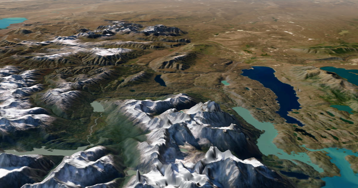 Guide · Expedition weatherExpedition weather by month, from ten years of recordsTypical weather by month for Kilimanjaro, the Atlantic row, the Marathon des Sables and Namibia, from ten years (2015–2024) of ERA5 records.
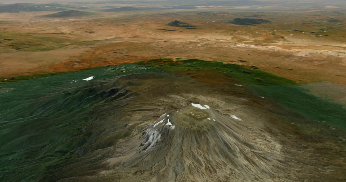 How-to · Live trackingHow to let family track you live on KilimanjaroPhone signal on Kilimanjaro is patchy. Carry an inReach or SPOT and share one AdventureLive link so family see you on the mountain, summit night included.
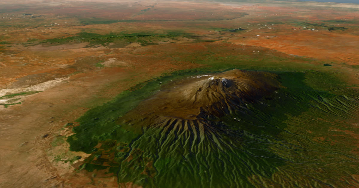 Guide · Satellite trackersDo you need a satellite messenger for Kilimanjaro?An honest answer: Kilimanjaro guides carry radios and phones, and signal is patchy. A satellite messenger is optional but useful on summit night.
 How-to · Live trackingHow to let family track you live on Everest Base CampMobile signal fades above Dingboche on the Everest Base Camp trek. Carry a tracker and share one AdventureLive link so family follow you. Aconcagua too.