Comparison · Comparisons
7 Best Garmin MapShare Alternatives in 2026 (Free & Paid)
By AdventureLive · Updated
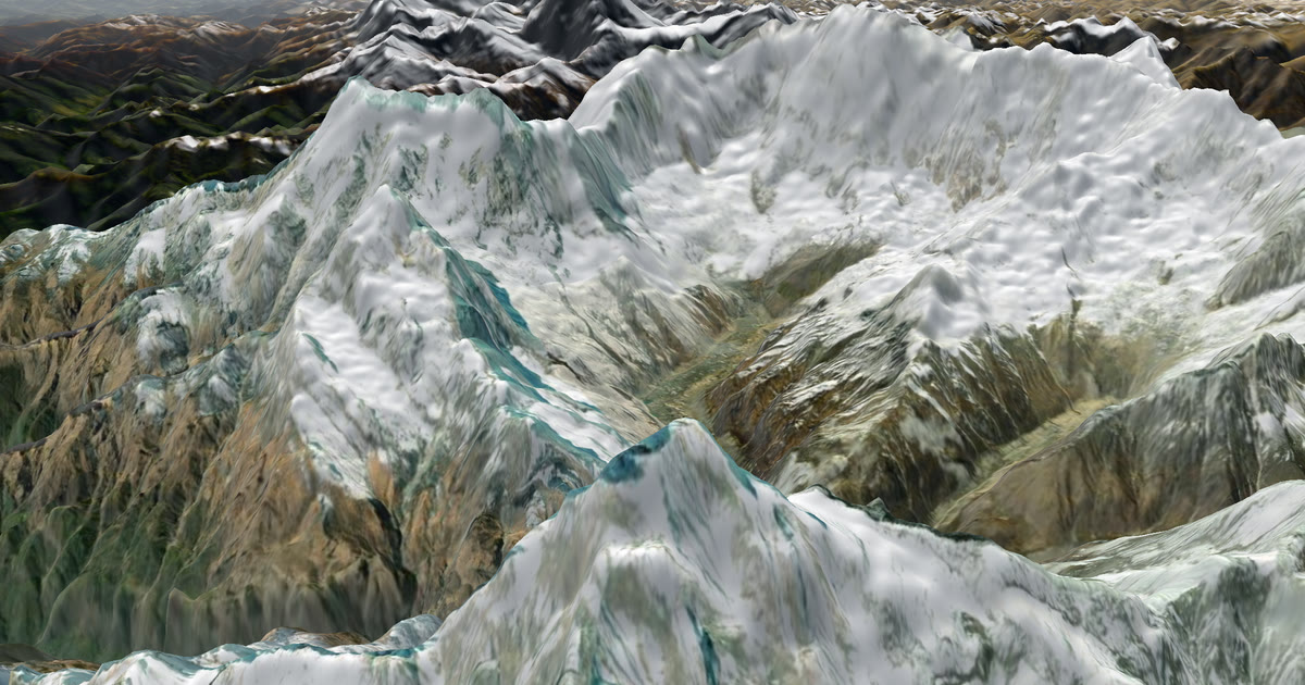
Garmin MapShare is the page that comes with an inReach, and for many people it is enough. If you want something else, the right pick depends on your device. For a SPOT, use SPOT Shared Views. For groups and several trackers on one page, use SpotWalla. For a phone journal, use Polarsteps or FindPenguins. For races, look at YB Tracking. For a different follower page on an inReach, use AdventureLive.
One point first. AdventureLive is not an alternative to MapShare in the sense of replacing it. It needs MapShare switched on, because it reads your MapShare feed. It is an alternative follower page built from MapShare, with a 3D map, the weather where you are and HELP emails to home contacts. You keep your inReach, its plan and MapShare.
Why look for an alternative?
People look past MapShare for a few reasons. They may carry a SPOT or a ZOLEO, not an inReach. They may want a journal with photos, or one page for a whole group. Or they want to see the weather where the person is, which the Garmin pages we read do not mention. Garmin's pages also say tracking needs an active subscription, and they do not say whether MapShare costs extra.
How did we compare them?
We read each tool's own site, help pages or app store listing in November 2026, and list every page under Sources. Where a page does not say something, we write "not stated on the pages we read". We compared signal needs, cost, what followers see, weather and, because it matters, whether the tool replaces your tracker or its plan. We make AdventureLive, so weigh our view with that in mind.
At a glance
| Tool | Works without phone signal | Cost | What followers see | Weather where you are | Replaces your tracker or its plan? |
|---|---|---|---|---|---|
| SPOT Shared Views | Satellite tracker (Globalstar network) | Basic included per device; Premium $2.50/month or $25/year; Enterprise $5/month or $50/year | Latest position and field reports | Not stated on the pages we read | Not applicable: it is the tracker's own page |
| AdventureLive | Yes with an inReach or SPOT; LiveTrack needs phone signal | Free, thanks to ProLend; your tracker's own plan still applies | 3D satellite map, route, line travelled, dot, check-ins | Yes, now and for 48 hours, with safety alerts | No. It reads your tracker |
| SpotWalla | Yes with a satellite tracker; phones need the SpotWalla app | Membership needed to create devices and share; prices not on the home page | Trips, retrospectives, location pages | Not stated on the pages we read | No. It also reads your tracker |
| ZOLEO | Yes, over the Iridium satellite network | Device listed at $199; plan prices not on the page we read | ShareMap URL for your Safety Circle | Not stated on the pages we read | It is a tracker and plan of its own |
| Polarsteps | Records offline, syncs when you reconnect | Tracking listed as free; earns from Travel Books and Polarsteps Plus | Your trip as a journal on a map | Not stated on the pages we read | It does not use a tracker or plan |
| FindPenguins | Offline route tracking; uploads later | Listed as free on the App Store; book price not shown | Trip, flyover video, printed book | Not stated on the pages we read | It does not use a tracker or plan |
| YB Tracking | Yes, from anywhere with a clear sky view, over Iridium | YB3 at 449 GBP plus tax; 18 GBP/month line rental; credits | Live race viewing for events | Not stated on the pages we read | It is its own tracker and plan, usually rented |
Prices are at the time of writing (November 2026), from each tool's own pages.
1. SPOT Shared Views: best if you carry a SPOT
SPOT Mapping is the page that goes with a SPOT device. The page we read says Shared Views let family and friends follow your progress, show your latest position and reports from the field, and can notify people if you need help. For hikers, it says loved ones can follow your route in real time.
At the time of writing (November 2026), the SPOT page we read lists Basic as included per device with unlimited Shared Views, Premium at $2.50 a month or $25 a year per device, and Enterprise at $5 a month or $50 a year. SPOT's home page says the devices use the Globalstar network. Weather is not mentioned on the pages we read.
Pros
- Basic Shared Views are included per device, with no limit on Shared Views
- Price tiers are published on the page
- Can notify people if you need help
Cons
- Needs a SPOT device and its service plan
- Weather where you are is not stated on the pages we read
2. AdventureLive: best for adding weather and a 3D map to the inReach or SPOT you already carry
AdventureLive reads the tracker you already carry and turns it into one follower page. You keep your inReach and MapShare switched on, or your SPOT and its shared page, or Garmin LiveTrack. AdventureLive does not replace any of them, or their plans. It adds a 3D satellite map, the route, the line you have travelled and your dot, with "Seen 22 min ago, via inReach".
Followers open a link in any browser, with no app and no account unless the trip is for approved people only. They see the weather where you are now and for 48 hours, with alerts for strong wind, gales, severe cold, heat, heavy rain and thunderstorms. Up to five home contacts get an email if your tracker sends a HELP message. SOS does not go to home contacts. It goes to Garmin Response or SPOT's GEOS centre, which call the emergency contacts you set up with Garmin or SPOT. It is free, thanks to ProLend. Plan your trip.
Pros
- Adds a 3D map and the weather where you are, with safety alerts
- Up to 5 home contacts get an email on a HELP message
- One link even if you link an inReach, a SPOT and LiveTrack
Cons
- Needs an inReach, SPOT or Garmin LiveTrack, plus that device's own plan
- Not a phone tracking app and not a journal
3. SpotWalla: best for groups and several trackers on one page
SpotWalla calls itself an online personal location management system. Its home page lists trips (travel logs that can be public, private or password protected), retrospectives that show several trips on one map, location pages that show the last known positions of many people, and Secure Zones that hide your location around places like home.
It supports satellite trackers from SPOT, Garmin and ZOLEO, and phones running its own apps. The page says a membership is required to create devices, document travels and share them, in several levels, with a Maintenance level that keeps devices and data online. Prices are on a separate Memberships page that we did not rely on. Weather is not mentioned.
Pros
- Supports SPOT, Garmin and ZOLEO trackers, and phones
- Location pages put many people on one map, handy for groups and events
- Secure Zones hide your location around places you choose
Cons
- A membership is needed to share; prices not on the home page
- Weather where you are is not stated on the pages we read
- Like AdventureLive, it still needs your tracker and its plan
4. ZOLEO: best if you already own a ZOLEO
ZOLEO is a two-way satellite messenger. Its page says it uses the Iridium satellite network for emergency communication and follows you across cellular, Wi-Fi and satellite when paired with a phone. The device was listed at $199 when we read it.
It lists GPS location sharing, check-ins, Location Share+ updates and a secure ShareMap URL, and describes sharing with a Safety Circle of friends, family and work teams. The page does not say how the share page updates or who can open it, and it does not list plan prices. Note that AdventureLive does not support ZOLEO. SpotWalla does list it.
Pros
- Works beyond phone coverage over Iridium
- Pairs with your phone across cellular, Wi-Fi and satellite
- Sharing is built in through a ShareMap URL
Cons
- Needs the device and a plan; plan prices not on the page we read
- What followers see on the ShareMap is not described on the pages we read
- Not supported by AdventureLive
5. Polarsteps: best for a phone-based travel journal
Polarsteps is a phone app that tracks your route and turns it into a travel journal. Its tracker page says tracking is completely free, that it works offline and keeps tracking off-grid, and that data syncs and the map updates once you reconnect. You choose whether a trip is public, followers only or private.
The page says live location shows to viewers only if the tracker is on and your privacy settings allow it. It says Polarsteps earns money from Travel Books and Polarsteps Plus. Weather is not mentioned. If you carry a phone and want a keepsake, this is a good fit. If you carry an inReach and want family to see you live, it is a different job. AdventureLive is not a phone tracking app.
Pros
- Tracking is listed as free
- Records offline and syncs later
- Privacy per trip: public, followers only or private
Cons
- Not live while the phone has no connection
- Weather where you are is not stated on the pages we read
6. FindPenguins: best for a journal with a printed book
FindPenguins is an app for planning, tracking and sharing trips. Its App Store listing says route tracking is battery-friendly and offline, with your phone in your pocket, and that you get free 3D flyover videos and can turn memories into a hardcover travel book.
The listing says you have control over privacy, including sharing live location with a time delay, and the app is listed as free. It does not mention in-app purchases or the book price. Weather is not stated. Like Polarsteps, it is a phone journal, so AdventureLive is not an alternative to it as an app. It is a different way for family to follow an inReach or SPOT.
Pros
- Offline route tracking
- Flyover videos and a printed hardcover book
- Live location can be shared with a time delay
Cons
- Phone-based, so it is not live where the phone has no signal
- Weather where you are is not stated on the pages we read
7. YB Tracking: best for races and rented trackers
YB Tracking says it tracks about 300 races a year, from yacht races to adventure and vehicle events, and that most customers hire units on a rent-and-return basis. Its home page links to live event viewing for spectators.
At the time of writing (November 2026), the YB3 handheld page lists the tracker at 449 GBP plus tax and line rental at 18 GBP a month, paid in one-month blocks. Each position uses a credit. Battery life runs up to 3 weeks at a 15-minute interval. The pages we read do not mention weather. AdventureLive does not support YB.
Pros
- Built for races and events, with a race viewer
- Line rental in one-month blocks, no annual contract
- Used by sailors, rowers and adventure racers
Cons
- Own tracker and credits; not read by AdventureLive
- Weather where you are is not stated on the pages we read
How to choose
- If you carry a SPOT, start with SPOT Shared Views.
- If you carry an inReach and like MapShare, keep it. Add AdventureLive only if you want the 3D map, weather and HELP emails.
- If you run a group or an event, look at SpotWalla.
- If you only have a phone and want a keepsake, look at Polarsteps or FindPenguins.
- If you sail or row in an organised race, ask the organiser which tracker and viewer they use, often YB Tracking.
See link a tracker, share an inReach with family and the older SPOT shared page alternatives.
FAQ
Is there a free alternative to Garmin MapShare?
SPOT lists Basic Shared Views as included per device. Polarsteps lists tracking as free. AdventureLive is free, thanks to ProLend, but you still need the tracker and its plan.
Can I use AdventureLive instead of MapShare?
No. It reads MapShare, so MapShare must stay on. It is a different follower page built from it.
Do MapShare alternatives work without phone signal?
Satellite trackers such as the inReach, SPOT and ZOLEO use satellites. Phone apps like Polarsteps record offline and upload later.
Does MapShare show the weather where I am?
The Garmin pages we read do not mention weather. AdventureLive shows the weather where you are, now and for 48 hours.
This guide belongs to our comparison of the best live tracking for adventures. For a head-to-head, read AdventureLive vs Garmin MapShare.
Questions people ask
- Is there a free alternative to Garmin MapShare?
- SPOT lists Basic Shared Views as included per device. Polarsteps lists tracking as free. AdventureLive is free, thanks to ProLend, but you still need the tracker and its plan.
- Can I use AdventureLive instead of MapShare?
- No. It reads MapShare, so MapShare must stay on. It is a different follower page built from it.
- Do MapShare alternatives work without phone signal?
- Satellite trackers such as the inReach, SPOT and ZOLEO use satellites. Phone apps like Polarsteps record offline and upload later.
- Does MapShare show the weather where I am?
- The Garmin pages we read do not mention weather. AdventureLive shows the weather where you are, now and for 48 hours.
Sources
Related guides
 Comparison · ComparisonsAdventureLive vs Garmin MapShare: which should you use?Garmin MapShare and AdventureLive both show an inReach to family. Here is what each does, what it costs and when to use both, from their own pages.
 How-to · Satellite trackersShare your inReach MapShare with family (and make it better)Turn on MapShare in Garmin Explore, set a password, send the link, then add the weather, alerts and home contacts by linking it to AdventureLive.
 Guide · Satellite trackersA SPOT shared page alternative your family will actually useSPOT's shared page shows where you are. Here is what SpotWalla and AdventureLive add: a 3D map, the weather where you are, alerts and HELP emails to home.
 Guide · Satellite trackersinReach vs SPOT vs ZOLEO for expeditionsinReach, SPOT and ZOLEO compared for expeditions: networks, coverage, tracking intervals, SOS, plan prices and weights, and which work with AdventureLive.