Comparison · Comparisons
AdventureLive vs Polarsteps: live tracking or travel journal?
By AdventureLive · Updated
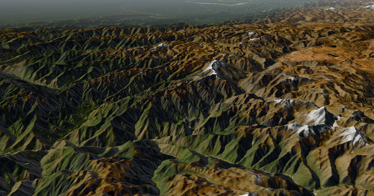
Is Polarsteps the same kind of tool as AdventureLive?
No. Polarsteps is a travel journal that tracks your route on your phone. AdventureLive is a live page for a satellite tracker. They overlap only in that both draw your journey on a map for people at home.
We make AdventureLive, so read our view with that in mind. Everything below about Polarsteps comes from Polarsteps' own pages, linked under Sources. This guide belongs to our comparison of the best live tracking for adventures.
At a glance
| Polarsteps | AdventureLive | |
|---|---|---|
| What it needs | A phone with the Polarsteps app | An inReach (via MapShare), a SPOT or Garmin LiveTrack. No phone app |
| Works without phone signal? | It records offline and syncs when you reconnect | Yes with an inReach or SPOT. LiveTrack needs phone signal |
| Cost to you | Tracking is listed as free; Travel Books are sold | Free, thanks to ProLend. Your tracker plan is your cost |
| What followers see | Your trip on a map, as a journal, for the people you allow | 3D satellite map, route, line travelled, dot, check-ins, "Seen 22 min ago" |
| Live off-grid? | Not live while offline: it uploads later | Live at your tracker's interval |
| Weather where you are | Not stated on its site | Yes, now and for 48 hours, with safety alerts |
| Alerts to family | Not stated on its site | Up to 5 home contacts get HELP emails from your device |
| Best for | Travel journals and Travel Books | Families following a satellite tracker |
What does Polarsteps do well?
Polarsteps makes a travel journal almost effortless. Its site says it tracks your route automatically, traces your adventures on a map and works offline. It says you decide who sees each trip: public, followers only or private. It also sells Travel Books made from your trips.
For a long backpacking trip, a honeymoon or a year abroad, that is a strong fit. The route draws itself. You add photos and notes when you have a moment. Tracking is listed as free. If the aim is a record you will keep for years, Polarsteps does that job well.
Why is Polarsteps not live when you are off-grid?
Because the phone has to reach a server before anyone else can see your trip. Polarsteps' support pages say the app keeps recording without a connection. They also say that unsynced steps show as "Offline draft" until they are synchronized to its servers. One support page says the iPhone app synchronizes only when the app is opened and the screen is unlocked, due to Apple limits.
That is a sensible design for a journal. It is a poor fit for a family who want to know where you are today on a glacier or a desert track. This is not a fault. It is a different job.
What does AdventureLive do well?
AdventureLive is for the family who want to see you now. It reads the position your inReach or SPOT sends over satellite, so it works where your phone does not. Followers open a link in any browser. They see a 3D satellite map, the route, the line you have travelled and your dot, with "Seen 22 min ago, via inReach".
They also see the weather where you are, now and for the next 48 hours, with alerts for strong wind, gales, severe cold, heat, heavy rain and thunderstorms. Up to five home contacts get an email if the device sends a HELP message. Rescue itself is run by Garmin Response or SPOT's GEOS centre, not by AdventureLive.
It is free, thanks to ProLend. It has no phone app, no journal and no photo feed. You need a tracker, and you pay for its plan. See plan a trip and linking a tracker.
When should you choose Polarsteps?
Choose Polarsteps when:
- you want a journal of the trip with photos and notes;
- you want a Travel Book at the end;
- you will mostly have phone signal or Wi-Fi at some point each day or two;
- you do not carry a satellite tracker.
When should you choose AdventureLive?
Choose AdventureLive when:
- you carry an inReach or SPOT and want family to follow live;
- the trip passes through places with no phone signal;
- you want the weather where you are, with safety alerts, on the same page;
- you want HELP emails to named people at home.
Plan your trip to try it.
Can you use both?
Yes, and for many trips it is the best answer. They do different jobs and do not get in each other's way. Use the satellite tracker and AdventureLive for the live "where are they now" view. Use Polarsteps for the stories, photos and the book.
Your family gets two links: one to watch live, one to read the story. You decide who sees each. On AdventureLive the choices are findable, link only, or people you approve. See who can see you.
For a deeper look at the other journal app, read AdventureLive vs FindPenguins. For which satellite device to carry, see inReach vs SPOT vs ZOLEO. The forecast on any page is a guide, not a guarantee, so check local forecasts and warnings before you set out.
Questions people ask
- Does Polarsteps work without signal?
- Polarsteps says it tracks your route even when you are offline, and that data syncs when you reconnect. Unsynced steps show as offline drafts until they upload.
- Is Polarsteps live tracking?
- Only when the phone has a connection to upload. While you are offline, followers see your trip once it syncs, so it is not live in a remote area without signal.
- Is Polarsteps free?
- Its travel tracker page says tracking is completely free. It also earns revenue from Travel Books and Polarsteps Plus; the page we read gives no prices.
- Do I need a satellite tracker for AdventureLive?
- Yes. AdventureLive reads an inReach (via MapShare), a SPOT (via its shared page) or Garmin LiveTrack. It has no phone app of its own.
- Can followers see the weather where I am on Polarsteps?
- Not stated on its site. AdventureLive shows the weather where you are now and for 48 hours, with safety alerts.
- Can I use both on one trip?
- Yes. Use a satellite tracker with AdventureLive so family can follow live, and Polarsteps for the journal and a Travel Book afterwards.
Sources
Related guides
 Comparison · ComparisonsAdventureLive vs Garmin MapShare: which should you use?Garmin MapShare and AdventureLive both show an inReach to family. Here is what each does, what it costs and when to use both, from their own pages.
 Guide · ComparisonsThe best live tracking for adventures (2026)Ten ways to let family follow an adventure live, compared fairly: MapShare, SPOT, SpotWalla, Polarsteps, YB, LiveTrack, Beacon, ZOLEO and AdventureLive.
 Guide · Live trackingHow to let family track you live on an adventureLet family follow you live when there is no phone signal: use a satellite tracker and one link with a map, the weather where you are, and home contacts.
AdventureLive vs FindPenguins: journal app or live tracker?